

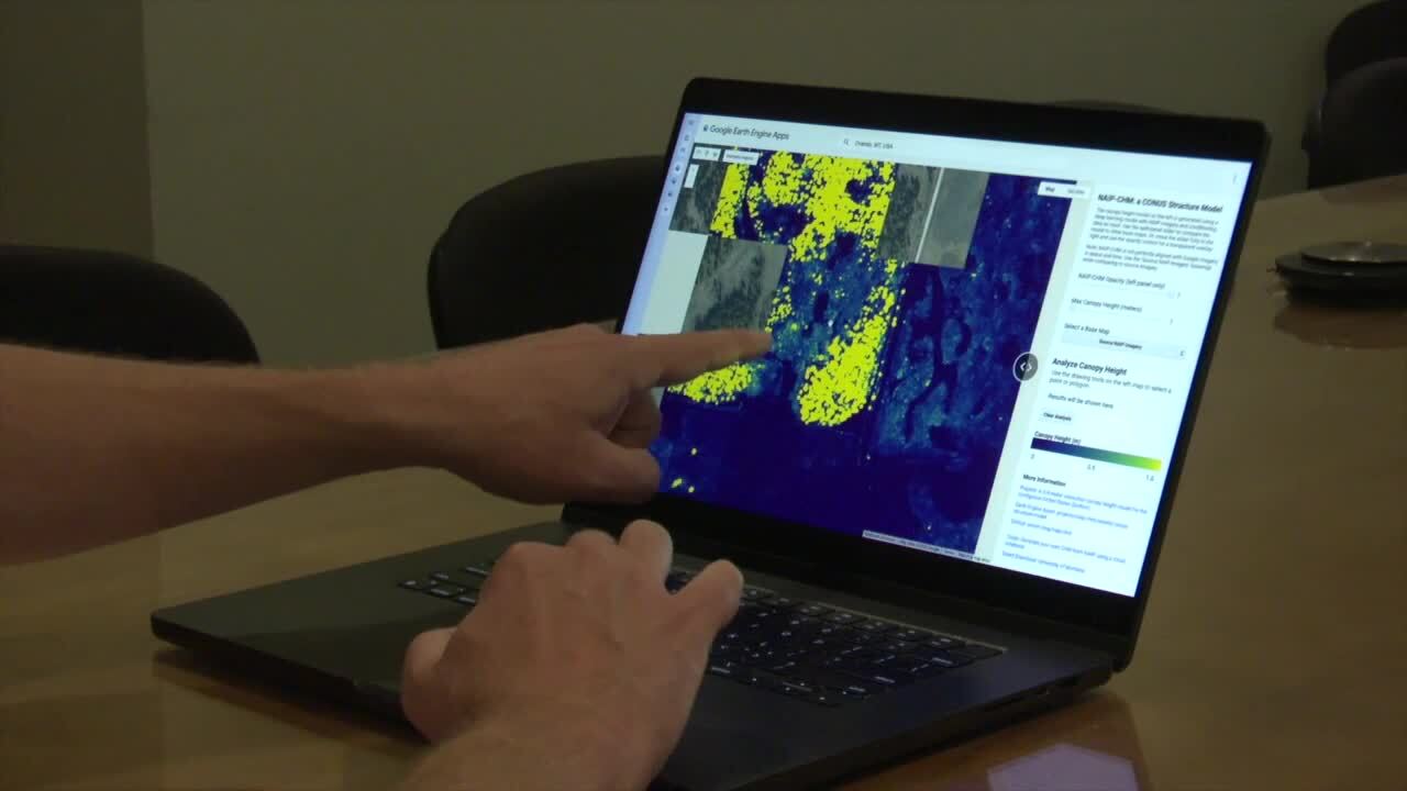

MISSOULA - Researchers at the University of Montana have announced a new free high-tech tool used to better understand forests and rangelands across the country.
The university unveiled a nationwide mapping product that shows the height and structure of trees and shrubs in remarkable detail.
Watch the story here:
"And so this application is one of the first of its kind that puts that really fine-grained information into people's hands so that they can make decisions for land management," Dr. Scott Morford, a UM research scientist, told MTN News.
Morford says the app, known as NAIP-CHM, is super useful for land managers, ranchers, and conservation planners.
It can also help those involved in fighting wildfires.
"So we can identify areas that are at high risk of wildfire and specifically areas that are at high risk for things like high-severity fire where catastrophic events can occur," said Dr. Anthony Marcozzi, another UM research scientist and fire scientist.
Marcozzi says, in addition, when a fire event is actually happening, the app can help officials understand how it's spreading, areas it might move to, and what the expected fire behavior is if the blaze moves into a specific area.
"As a fire scientist, the thing that I'm always interested in is where is the vegetation, how much vegetation is there, and what condition is the vegetation in," he said. "And this application and this data really helps us answer those first two questions."
Marcozzi says the fine detail makes a huge difference.
"Usually when we're talking about vegetation data products, we're talking about really large coarse areas that don't capture the distance between vegetation or don't capture sort of the vertical growth or horizontal distance, and those things really matter when we're talking about fire behavior," he said.
Nearly all the funding for this project is from the USDA. Morford calls the free app a "game changer".
"This type of information has been available before, but it's been hard to process, or it's been really localized," he said. "What this does is it allows anybody who is doing any type of land management or interested in these infrastructure questions to have data at their fingertips in just a matter of minutes, rather than maybe hours or days of data processing."
As far as next steps, Morford and Marcozzi say they're working with the Forest Service to determine the use of the model when it comes to inventory and project design.
They say what they learn from that collaboration will help them refine the next version, and they plan to update the data and app annually.
