


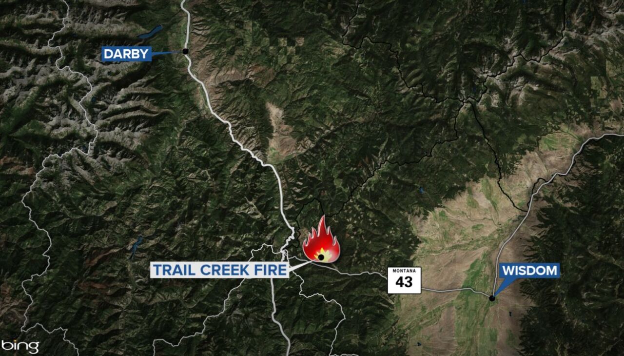
GREAT FALLS — The Trail Creek Fire burning about 20 miles west of Wisdom has grown to 19,848 acres with no containment as of Sunday morning, according to InciWeb.
As of Sunday, there have been no reported injuries or damaged structures from the lightning-sparked fire, which was reported on July 8th.
Fire activity is expected to increase in all directions and threaten the Highway 43 corridor over the next 72 hours. Highway 43 is intermittently open and closed from the Montana/Idaho border to 18 miles west of Wisdom. The Ravalli County Sheriff's Office sent out a notification confirming that Highway 43 will close at 3 p.m. Sunday at Lost Trail Pass due to fire conditions.
You can check current conditions for Highway 43 on the Montana Department of Transportation website.
Most fire growth continues to be toward the east and southeast, and crews are working to protect structures along the Highway 43 corridor on the east side of the fire, particularly around the Big Hole National Battlefield and private property south of the highway. A structure protection plan will be required for several private residences near the Big Hole Battlefield.
Crews on the west side of the fire are focused on preventing it from crossing the Continental Divide.
On Saturday, officials issued a closure order for the Big Hole National Battlefield until further notice.
Officials say the fire will be a long-term event that will burn through the fire season until a season-ending event produces moisture.
There are currently 147 personnel assigned to the fire.
-
Wildfire Watch: Share Your Photos and Videos
Did you take pictures or videos you want to share? Click here to find out how. -
Wildfire Watch
Latest information on wildfires in Montana -
Wildfire Terminology 101
This glossary is intended to help people better understand the terminology used by fire crews and in news reports.
