



A DENSE FOG ADVISORY is in effect from the Canyon Ferry Area down to Three Forks through Wednesday morning.
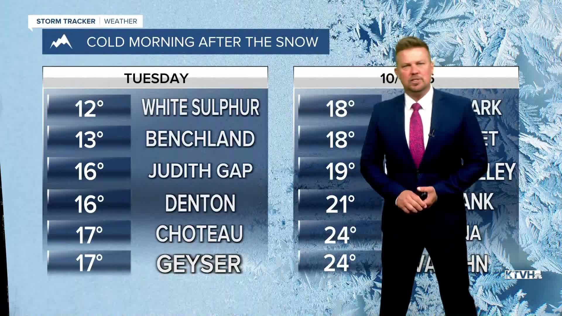
After all of the snow that fell, temperatures took a nose dive for much of Montana with the coldest readings since earlier this spring. With all of the snow on the ground, the conditions are conducive for cold temperatures at night. However, the pendulum will swing the other way (a warmer direction) over the next several days. A lot of that snow still left of the ground should be gone in a few days. Tuesday night, more fog will develop but gradually burn off through Wednesday morning. Wednesday will become partly cloudy with highs in the 50s. More melting.... A weak, little cold front will move through the state on Thursday morning without any precipitation. It will be slightly cooler for most of the state, and eastern Montana will be windy. Highs will be in the 50s. Friday, a warm chinook wind will develop and any lingering snow should melt as temperatures warm into the 60s to near 70. This coming weekend will be very different than last as temperatures warm into the 60s and 70s with a strong wind across the plains, Continental Divide and off the Rocky Mountain Front. The next storm to hit Montana with a little rain and higher elevation snow likely comes in on Tuesday.
Enjoy the warmup and melting!
Curtis Grevenitz
Chief Meteorologist
