

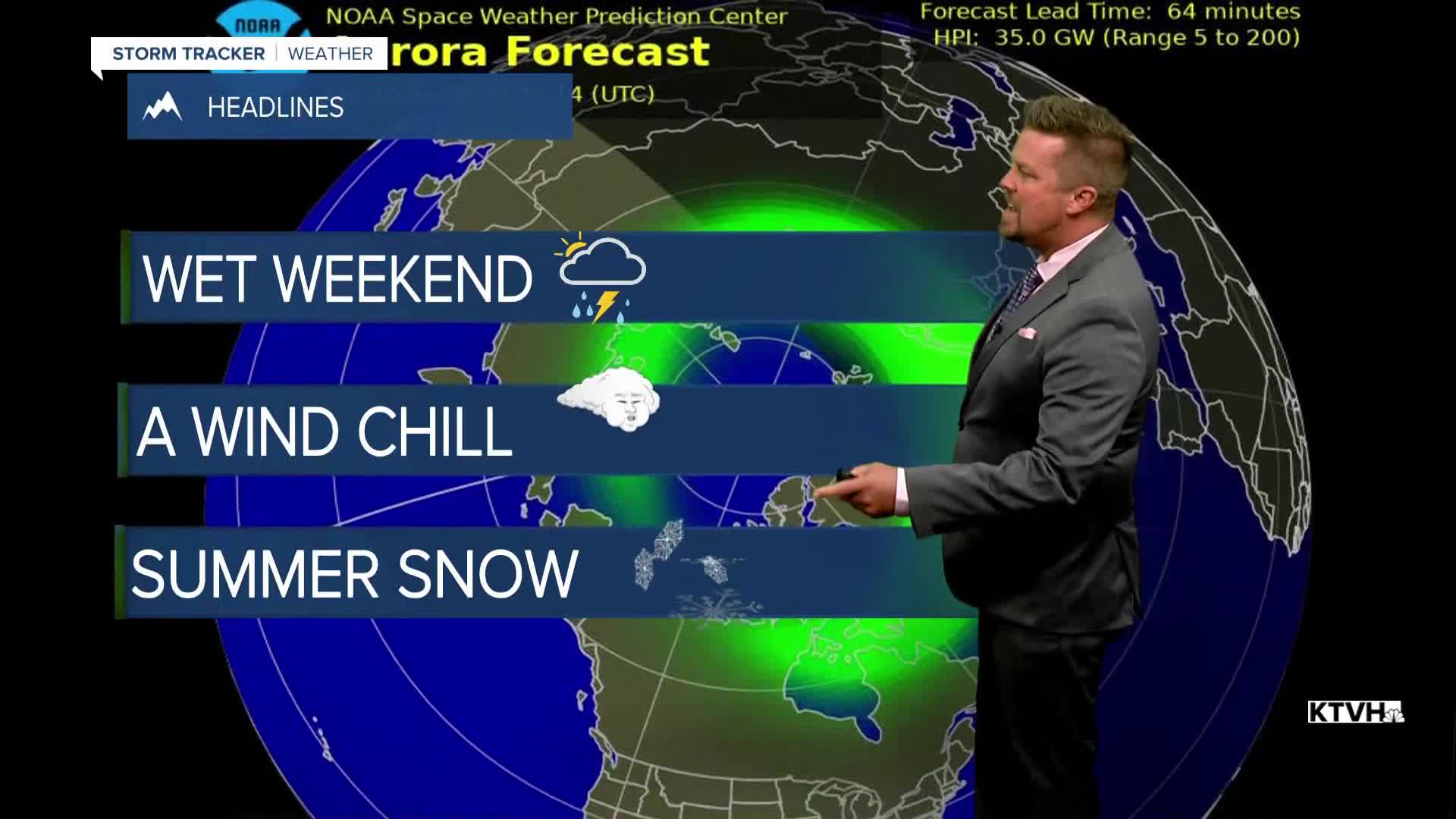


It's the final weekend of August and the weather will feel a little more like Fall with showers, thunderstorms, wind, cooler temperatures and some high mountain snow. Some rain will fall on most of the state's wildfires, and the cooler temperatures will help slow some of the activity as well. I know, I was hoping for a warm and dry weekend too but this storm system will certainly bring benefits to Montana and much of the northern Rockies. Saturday will be partly to mostly cloudy with scattered showers thunderstorms around all day. There will be more widespread wet weather through the afternoon and evening. Highs will be in the 70s and 80s. There will be a wind up to 20mph on Saturday afternoon. Areas of rain are possible Saturday night into Sunday. Colder air will also move in with a touch of snow up on the mountain peaks. Sunday will start out on the cloudier side with scattered showers, but sunshine should increase for most of the state through the day. There will be a few lingering showers up on the Hi-Line through the afternoon. Highs will be cooler in the 60s and 70s. A strong west wind will gust over 30mph at times. It certainly will feel a touch like fall. Cooler temperatures and increasing moisture will help firefighters continue to get an advantage on many of the state's wildfires. Monday will be sunny and warmer with still some lingering wind.
Have a great weekend,
Curtis Grevenitz
Chief Meteorologist
