

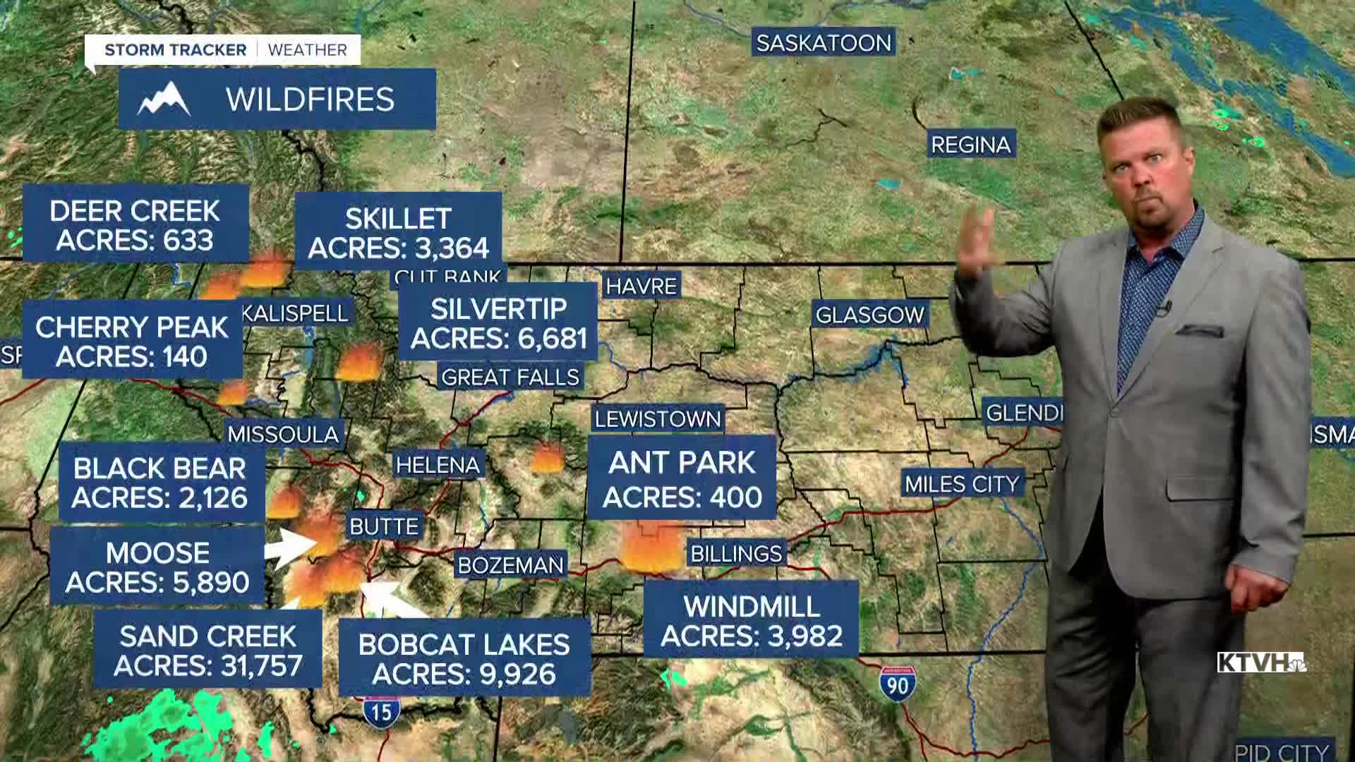


Scattered thunderstorms followed by wind and drier conditions will hit Montana this weekend, new fires could start and existing fires could grow. It's not the best sequence of events when thunderstorms and lightning strikes could cause small fires that rapidly grow when lower humidity and strong wind hit. Saturday will be the stormy day, Sunday the windier day with high fire danger. Saturday will be partly to mostly cloudy, with a few light showers in the morning followed by scattered strong to severe thunderstorms in the afternoon and evening. Highs will be in the 80s and low 90s. A weak front will pass Saturday night, and Sunday will be warm and very windy. An isolated thunderstorm is still possible Sunday, with the best chance of storms in the eastern half of the state. Highs will reach the 80s to about 90, but the wind will be fairly strong out of the west up to 25-30mph. Some places in the state may face RED FLAG WARNING conditions with the wind and low humidity. While there will be some elevated fire danger this weekend, the weather through the end of August does not appear too hot or too fiery. Cooler temperatures arrive Monday with lighter wind.
Have a great weekend,
Curtis Grevenitz
Chief Meteorologist
