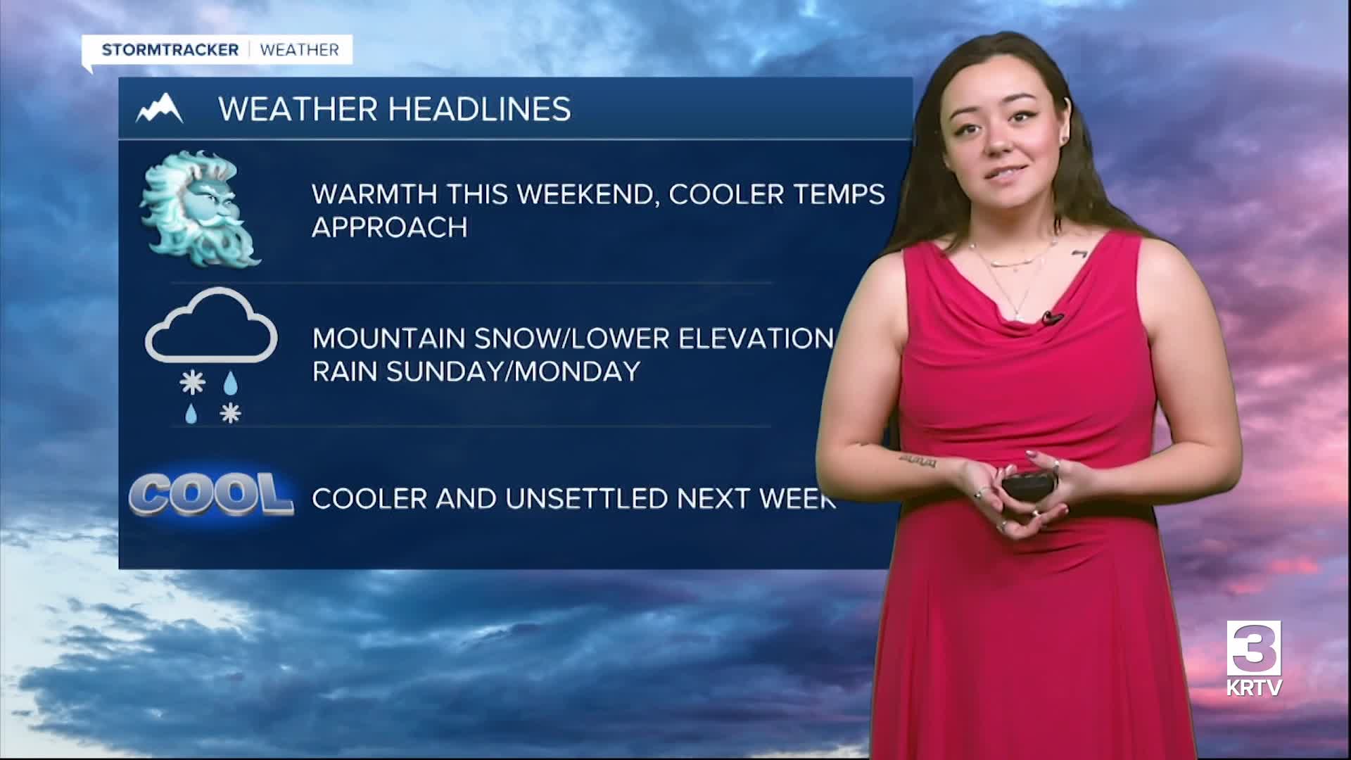


The next weather system approaches Sunday/Monday. Snow begins to fall over the Continental Divide tomorrow afternoon before precipitation spreads eastward Sunday evening. Expect most of the precipitation from this system to be light, with the most impactful amounts being over Kings Hill Pass (where 2-4 inches of snow are expected) and over Marias Pass (where 6-10 inches of snow are expected).
Otherwise, expect mostly cloudy skies (partly/mostly sunny for SW/Helena locations) Sunday with high temperatures ranging in the 40s for northern areas, 50s for the plains, and 60s for SW locations. Expect 5 to 15 mph winds with gusts up to 40/50 mph for the Rocky Mountain front and adjacent plains.

The system will clear the area late Monday and Tuesday, which will allow warm temperatures to return Wednesday (50s/60s). This return of above average temperatures will not last long, as a slightly stronger upper-level trough will push in Wednesday night and into Thursday, bringing another round of cooler temperatures and another chance for widespread mountain snow and lower elevation rain. Behind this system, northwesterly flow aloft will keep us a bit cooler and generally cloudy with some higher terrain snowfall.


