

WEATHER DISCUSSION: Slightly cooler low temperatures are expected tonight, in the 20s and 30s with partly to mostly cloudy skies and lighter winds, around 5 to 10 mph with gusts up to 20 mph.

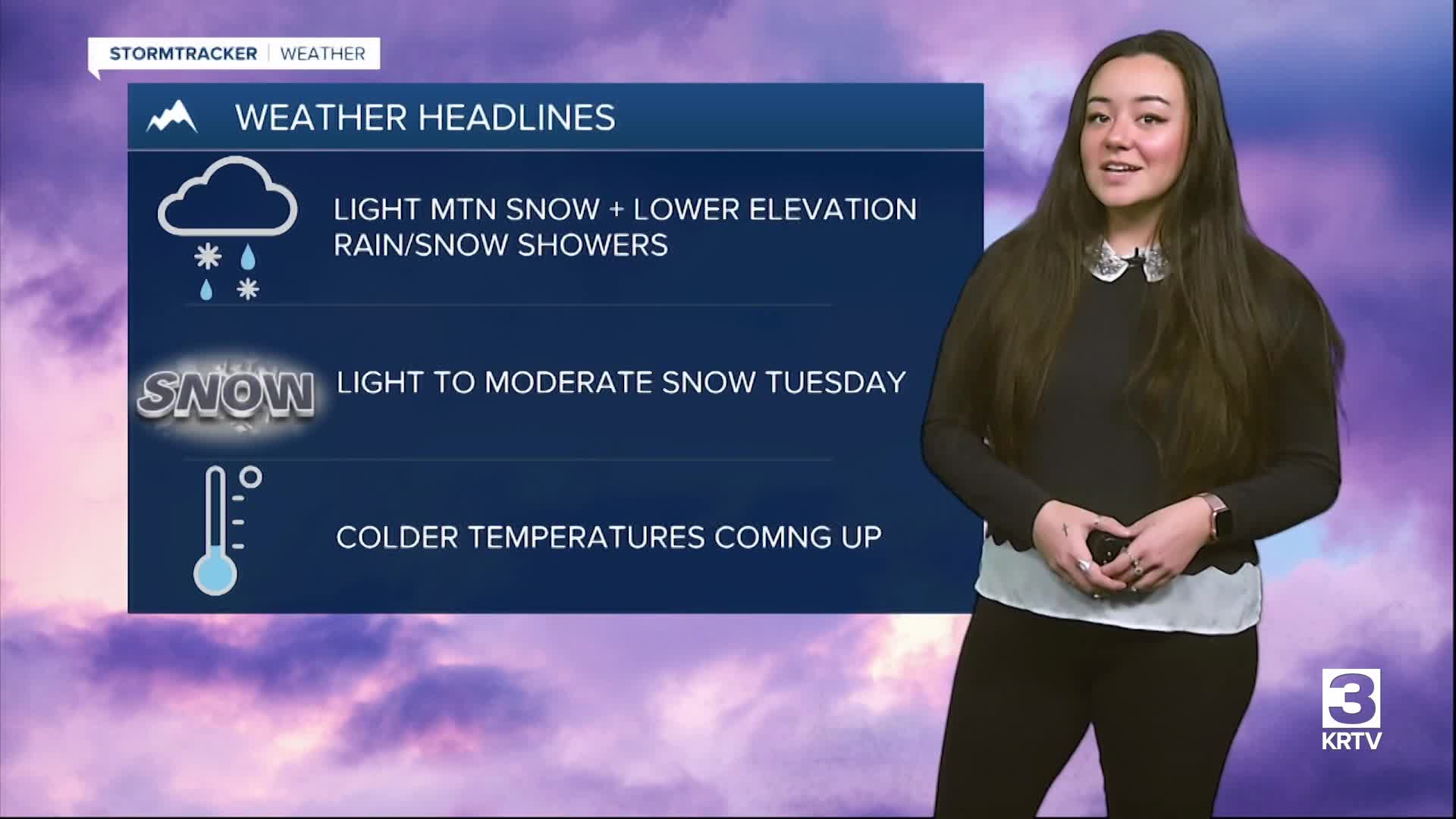
An upper-level wave will continue to bring light mountain snow along with isolated rain/snow showers at lower elevations through the evening. Most impacts from snow will remain above pass level with road temperatures sitting above freezing. However, any wet pavements overnight are likely to refreeze and cause slick roads.
There will be a lull in precipitation on Monday before the next system moves through. Winds increase in Southwestern MT but remain on the lighter side for North Central, with gusts up to 20-30 mph. Monday will be the warmest day of next week with high temperatures in the upper 40s, 50s, and low 60s. Expect sunny to partly cloudy skies with precipitation chances and winds increasing towards the evening.

A broad, deepening trough from Canada will combine with a shortwave to bring a more active and colder period to the region Tuesday through the week. The first of this new pattern begins late Monday night into early Tuesday morning. Expect a wave of minor to moderate mountain snow, with light snow at lower elevations through Tuesday evening. This is prompting Winter Weather Advisories mainly in western locations and locations around the Continental Divide and the Rocky Mountain Front. Blowing snow and visibility reduction are the main concerns on Tuesday.
There will be additional chances of light to moderate snow Wednesday through Friday. The Tuesday system is expected to pull in colder air from Canada, bringing near to below average temperatures through at least Wednesday and Thursday.


