


Good Morning! Today is Wednesday, September 30, 2026.
It was a windy day on Tuesday, especially across western portions of north-central Montana, where several locations recorded peak wind gusts over 40 mph. The wind will be weaker today than it was yesterday, but it will still be breezy, especially this morning. Sustained winds of 10 to 25 mph are expected, and gusts of 30 to 40 mph are possible, with the strongest wind across southern portions of north-central Montana.

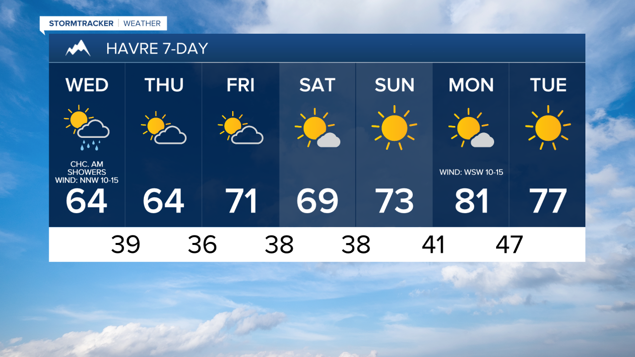
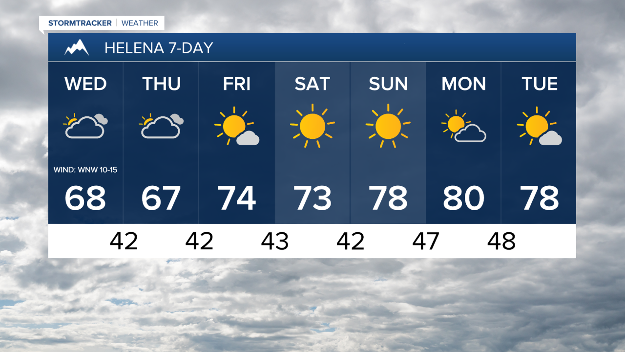
It is going to be partly to mostly cloudy today and there will be some scattered showers around, generally in locations west of I-15 and especially during then morning, as a weak front passes through our area. Cooler temperatures are also expected today with highs back in the 60s and mid to upper 50s.
Tomorrow, it is going to be partly to mostly cloudy and a few isolated showers are possible, but most locations will remain dry. The cooler temperatures will stick around for tomorrow, with highs remaining in the 60s and upper 50s. There will also only be a little breeze around tomorrow with sustained wind speeds of 5 to 20 mph.
Temperatures will begin to rebound on Friday, with highs climbing back into the upper 60s and low to mid 70s. Skies will be partly cloudy and it will be mostly dry. There will also be little to no wind.
The first weekend of October is shaping up to be a beautiful one as high pressure will be in control. Expect mostly sunny to sunny skies, dry conditions, and comfortable temperatures. Highs this weekend will be in the 70s and mid to upper 60s, with Sunday being the warmer day.
It will be mostly sunny and warm early next week as high pressure remains in control of our weather. Highs will be in the mid to upper 70s and low to mid 80s. Breezy conditions will also return, with sustained winds of 10 to 25 mph.


Have a wonderful Wednesday!
Chief Meteorologist Ryan Dennis
