

WEATHER DISCUSSION: What started out as a breezy day has now calmed down into a cool and mild night. Expect partly cloudy skies with low temperatures in the 20s and 30s, along with 5 to 10 mph winds.

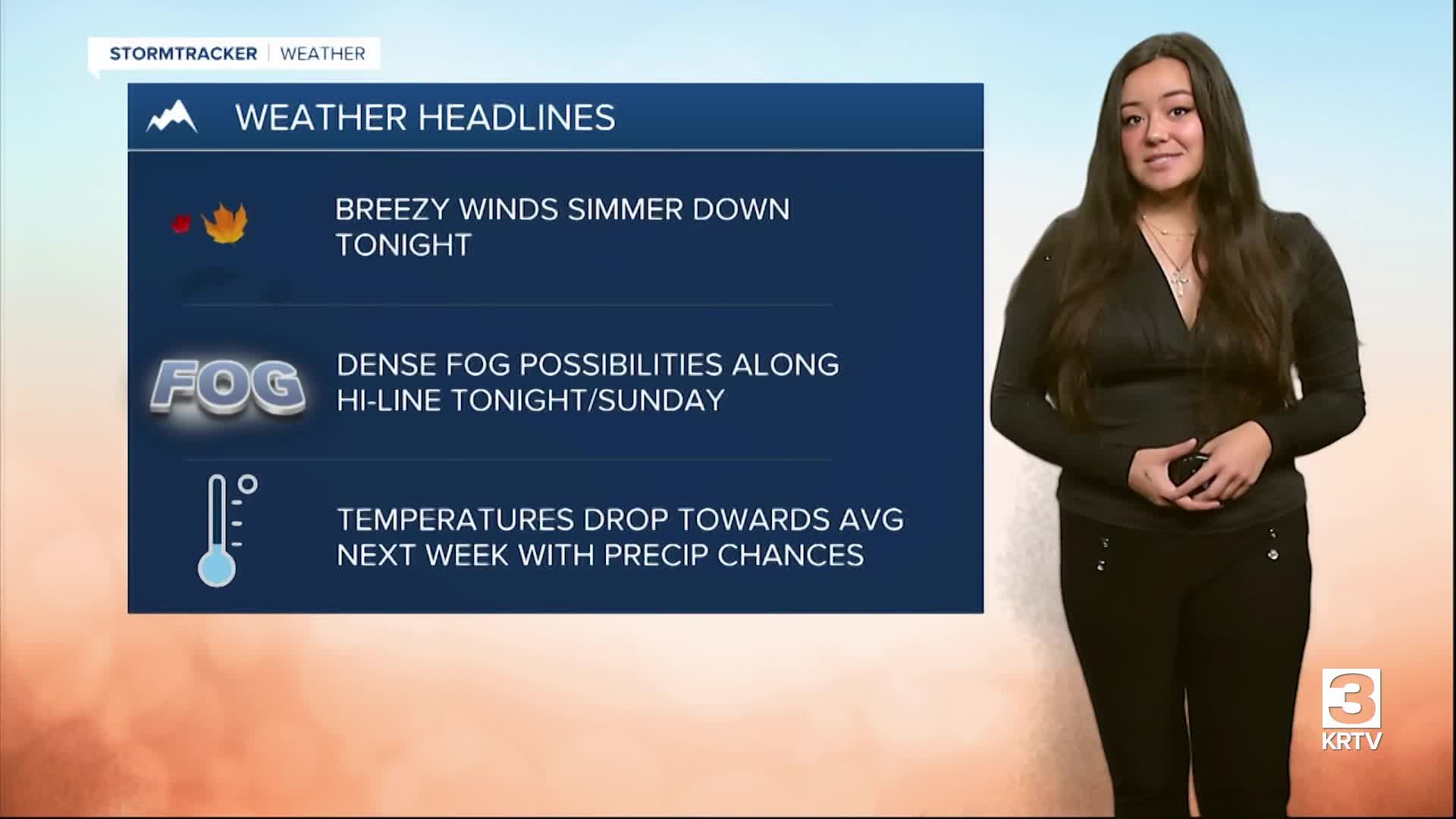
Slight ridging moving in this afternoon has helped push out morning precipitation. Mid-level winds will continue to decrease this evening, helping to decrease the breezy winds. The main concern overnight tonight will be the light winds and humidity along the Hi-line/northern Chouteau County that will produce freezing fog. There’s a good chance for dense fog if fog develops, and a Dense Fog Advisory may be issued later tonight by NWS if it materializes widespread. Areas that get dense freezing fog may develop icy spots on pavements and cause hazardous driving conditions.
Sunday, expect mostly cloudy skies and high temperatures in the cool/mild upper-40s and 50s. Winds will be around 5 to 15 mph with gusts up to 20 to 30 mph at times. Precipitation chances begin moving into western locations early afternoon Sunday, pushing over into more central locations by Sunday night. Chances for lower elevation rain and light mountain snow are possible Sunday into Monday.

A closed wave moving northwest early this week will bring the next chances for precipitation. The precipitation and mountain snow looks to be light overall. Temperatures look to peak into the upper-50s and 60s on Monday before dipping back around average into the 40s by mid-week.


