

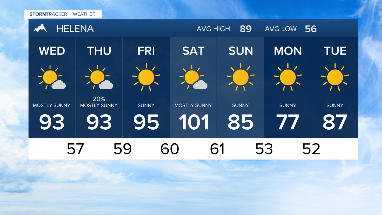


GREAT FALLS — Southwesterly flow along the periphery of an upper-level ridge maintains hot, hazy conditions with degrading air quality from Pacific Northwest wildfire smoke through Friday. Isolated to scattered showers and dry, gusty thunderstorms remain possible through Thursday across Southwest/Central MT, though severe potential remains low.
The ridge breaks down this weekend as a dry cold front approaches, driving peak heat state-wide on Saturday—especially east of the Divide and across North-Central MT, where high-confidence unseasonable heat is expected (though dense smoke could slightly temper highs).
Behind the ridge breakdown, strong winds develop late Saturday into Sunday along with potential mountain wave activity along the Rocky Mountain Front. Gusts in excess of exceeding 55 mph are possible. Combined with critically low relative humidity, these winds will drive elevated fire weather concerns and backcountry impacts before a brief early-week cooling trend takes hold.
