


Good Morning! Today is Wednesday, October 28, 2026. Here is today’s forecast:
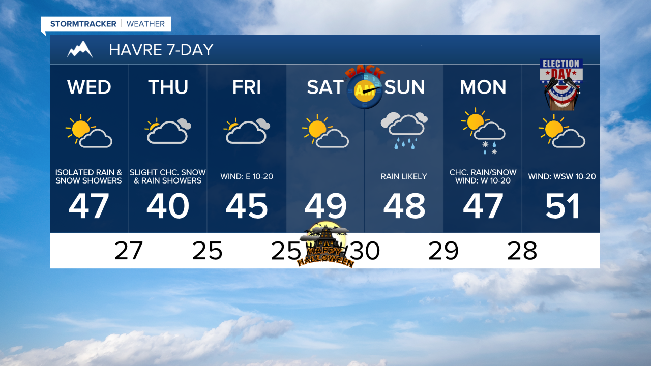
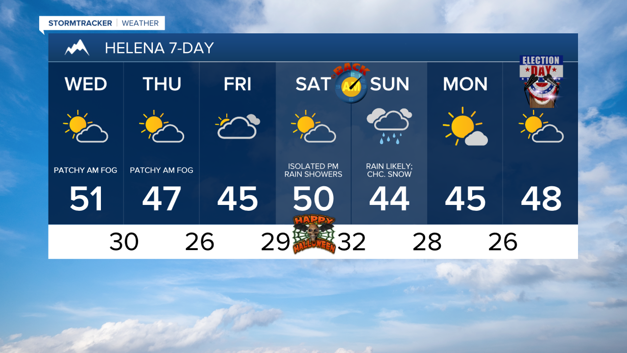
Although a lot of locations will remain dry, there will be a few snow and rain showers around today and tonight, generally along the Hi-Line and in the mountains. Up to an inch of snow is possible in the lower elevations, while up to 8” of snow is possible in Glacier National Park. A WINTER WEATHER ADVISORY is in effect for western Glacier County and western Pondera County from 3pm today until 6am tomorrow.


Skies will be partly cloudy today and there will be patchy dense fog around this morning. It will be cool again today as well with highs in the 40s and low to mid 50s. There will also be a breeze around in some areas today, with sustained winds of 10 to 20 mph, and gusts up to 35 mph are possible.
Tomorrow and Friday will be partly to mostly cloudy with a few isolated snow and rain showers around. Chilly temperatures will return for these two days, with highs in the 30s and low to mid 40s. There will also be a bit of a breeze around across eastern portions of north-central Montana on Friday, with sustained winds of 10 to 20 mph.
Halloween is looking pretty nice right now, with partly cloudy skies, little to no wind, and cool, but pleasant temperatures, with highs in the 40s and low 50s. Most locations will also be dry on Halloween, but there will be isolated rain and mountain snow showers around during the afternoon and evening as a storm system approaches the state.
Daylight Saving Time ends Saturday night, so remember to “fall back” one hour before heading to bed. It’s also a good time to change the batteries in your smoke detectors and carbon monoxide detectors.
Widespread rain and mountain snow is likely on Sunday as a storm system begins to pass through the state. Snow may mix in with the snow later in the day in some of the lower elevations. Widespread rain and snow will continue Sunday night. On Monday, there will continue to be some snow and rain around during the morning east of I-15, but the precipitation will gradually move out of our region as the day goes on. Skies will be mostly cloudy to overcast on Sunday and partly to mostly sunny on Monday.
It will be cool on these two days as highs will be in the mid to upper 30s and low to mid 40s. It will also be a little breezy on Monday, with sustained winds of 5 to 20 mph.
Election Day next Tuesday currently looks partly cloudy and dry. It will also feel nice outside with highs in the 40s and low 50s, and there will be a little breeze around.


Have a wonderful Wednesday!
Chief Meteorologist Ryan Dennis
