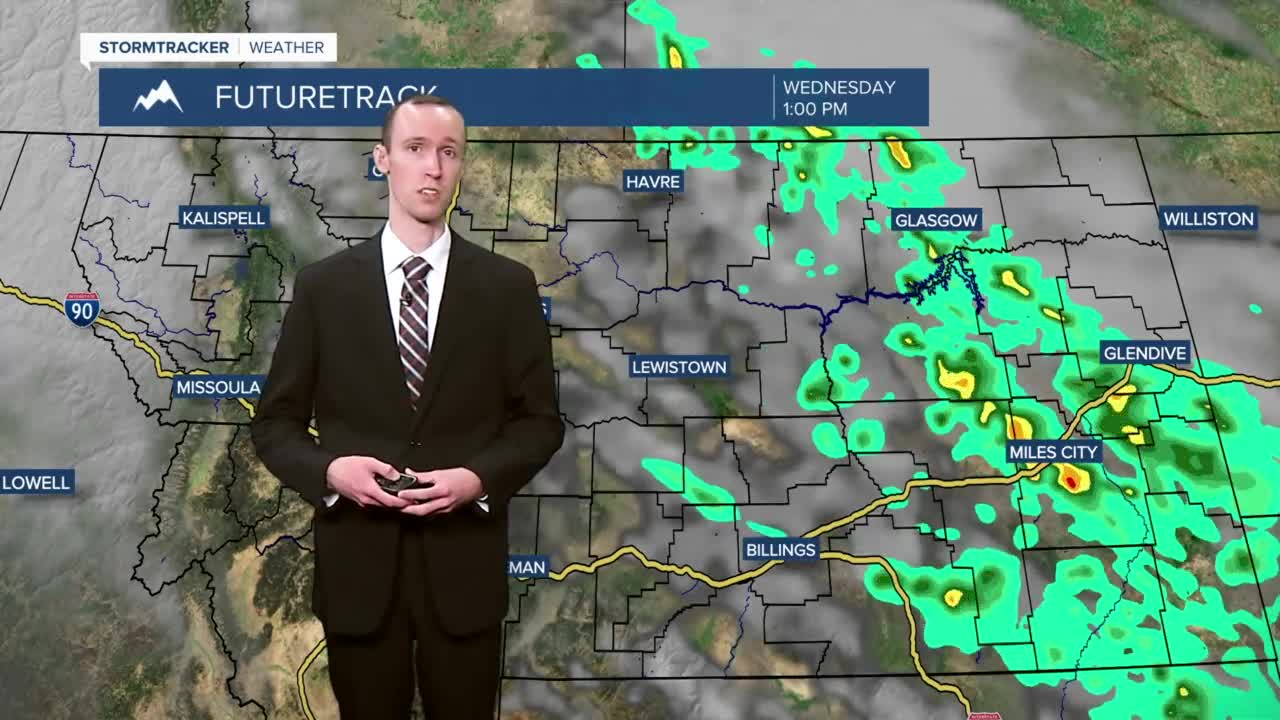


There are going to continue to be some scattered rain showers around this evening and tonight, especially before midnight, as a disturbance continues to slowly work its way through our area. Tomorrow is then going to be mostly sunny and mostly dry for most locations in north-central Montana, but there are going to continue to be some scattered rain showers and isolated thunderstorms around tomorrow in the eastern part of the state (generally in locations east of a line from Havre to Lewistown to Billings) as this disturbance departs our area. The temperatures tonight and tomorrow are also going to be near average for this time of year as lows tonight are going to be in the mid to upper 30s, and highs tomorrow are going to be in the low to mid 60s.

Mostly sunny skies and mainly dry conditions are then expected on Thursday as high pressure is going to briefly be in control of our weather. The temperatures are also going to be a lot warmer on Thursday than they are going to be tomorrow as highs are going to be in the mid to upper 70s.
Friday is then going to be a wet day as rain showers are likely, especially during the afternoon and evening, as a cold front works its way through our area. A couple isolated thunderstorms are also possible Friday afternoon and evening with the passage of this cold front. It is also going to be cooler on Friday than it is going to be on Thursday as highs are only going to be in the low to mid 60s, and it is going to be breezy on Friday as well as sustained wind speeds are going to be between 10 and 20 mph, and wind gusts are going to be between 25 and 35 mph.
There are then going to be scattered valley rain and mountain rain/snow showers around this weekend as a storm system hangs out over our area. It is also possible that some of the valleys could see some snow this weekend, especially on Sunday morning. Now it is too far out to determine exact snowfall and rainfall amounts, but several inches of snow accumulation is possible in the mountains from Friday through Sunday, and half an inch to an inch of liquid precipitation is possible in the valleys from Friday through Sunday, so this cold front and storm system are going to be bringing some much needed moisture to our area.
The temperatures this weekend are also going to be well below average for this time of year as highs are only going to be in the upper 40s and low 50s. It is also going to be breezy on Saturday as sustained wind speeds are going to be between 10 and 25 mph, and wind gusts are going to be between 30 and 40 mph.
We are then going to have a chance to see some more valley rain and mountain rain/snow showers on Monday and Tuesday of next week as another storm system passes through our area. The temperatures are also going to warm up some over these two days as highs on Monday are going to be in the mid to upper 50s, and highs on Tuesday are going to be in the low 60s.


