


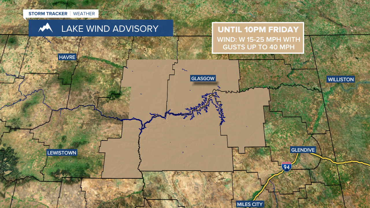
A LAKE WIND ADVISORY is in effect for Fort Peck Lake until 10pm Friday. Sustained wind speeds are going to be between 15 and 25 mph, and wind gusts up to 40 mph are going to be possible at times.
A RED FLAG WARNING is in effect for most of Phillips County and Valley County until 10pm Friday. Any new fires that start will rapidly spread to the east.

It was very windy today, but the wind is going to diminish this evening, and then we are just going to have a little bit of a breeze around tonight as sustained wind speeds are going to be between 5 and 20 mph. It is also going to be cool tonight as lows are going to be in the 40s in a lot of locations. There are also going to be scattered rain showers and a few thunderstorms around tonight, especially after midnight, as another cold front begins to work its way through our area. Some snow showers are also expected tonight in the mountains.
For tomorrow, we are going to have partly to mostly cloudy skies with scattered rain showers and a few thunderstorms around, especially during the morning, as a cold front passes through our area. There are also going to be scattered snow showers around tomorrow in the mountains. It is also going to be windy again tomorrow, although the wind is not going to be quite as strong as it was today, as sustained wind speeds are going to be between 15 and 30 mph, and wind gusts up to 50 mph are going to be possible at times. The temperatures are also going to be cooler tomorrow than they were today as highs are going to be in the 50s and low to mid 60s.
On Mother’s Day (Sunday), we are going to have partly to mostly cloudy skies with a few scattered rain and mountain snow showers around, especially during the afternoon and evening. A few thunderstorms are also possible on Sunday. It is also going to be cool and breezy on Sunday as highs are going to be in the 50s and sustained wind speeds are going to be between 10 and 25 mph.
There are then going to be scattered rain and snow showers around on Monday as a disturbance passes through our area. There is also going to be a little bit of a breeze around on Monday as sustained wind speeds are going to be between 5 and 20 mph. It is also going to be cool on Monday as highs are going to be in the low to mid 50s.
We are then going to have partly cloudy to mostly sunny skies on Tuesday and Wednesday with some isolated rain and snow showers around as high pressure is going to briefly be in control of our weather. The temperatures are also going to warm up some over these two days as highs are going to be in the 50s on Tuesday and the upper 50s and low to mid 60s on Wednesday. There is also going to be a bit of a breeze around on Tuesday as sustained wind speeds are going to be between 10 and 20 mph.
There are then going to be some scattered rain and mountain snow showers around on Thursday and Friday as a couple disturbances pass through our area. We are also going to have near to slightly below average temperatures on these two days as highs are going to be in the upper 50s and low to mid 60s. It is also going to be breezy on these two days, but especially on Friday, as sustained wind speeds are going to be between 10 and 25 mph.


