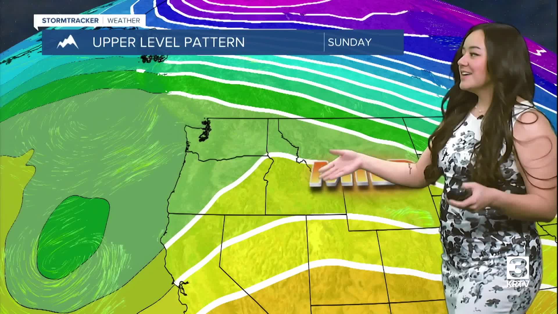
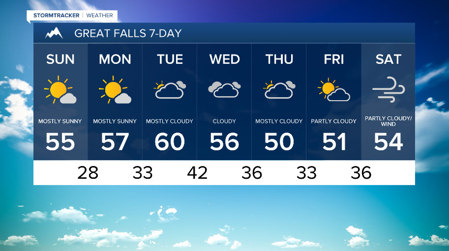
WEATHER DISCUSSION: Saturday got a bit cold with well-below average high temperatures throughout most of North Central and Eastern locations in the 20s and the 30s.
Tonight, expect mostly dry conditions with cold low temperatures in the single digits through the 20s. Also expect mostly clear to partly cloudy skies with winds on the lighter side, around 5 to 10 mph with gusts up to 20 mph.
Sunday, an upper-level ridge takes control of the region, allowing temperatures across the plains of North Central Montana to begin to warm up. Expect high temperatures back in the 40s and 50s, with some eastern locations still seeing 30s. For these Central and North Central locations, expect sunny/mostly sunny skies with 5 to 10 mph winds, gusts up to 20 mph.
There will be light snow around the Idaho/Montana border Sunday evening through Monday evening because of a shortwave, but it will be dry across most regions tomorrow too.
On Monday and Tuesday, expect additional warm and dry conditions across the area because of the dominating upper-level ridge remaining over the region. Heading into Wednesday and Thursday, an upper-level trough begins to move over the region, bringing some precipitation though at this time, it looks to mainly stay around Southwestern Montana.