


Good Morning! Today is Thursday, September 10, 2026. Here is today’s forecast:
Widespread gusty to strong winds are expected today as a cold front approaches the region. Along the Rocky Mountain Front, it is going to be very windy today with sustained winds of 20-40 mph and gusts up to or over 60 mph are possible. Elsewhere, gusty winds are expected today with sustained winds of 10-30 mph and gusts of 35-50 mph.
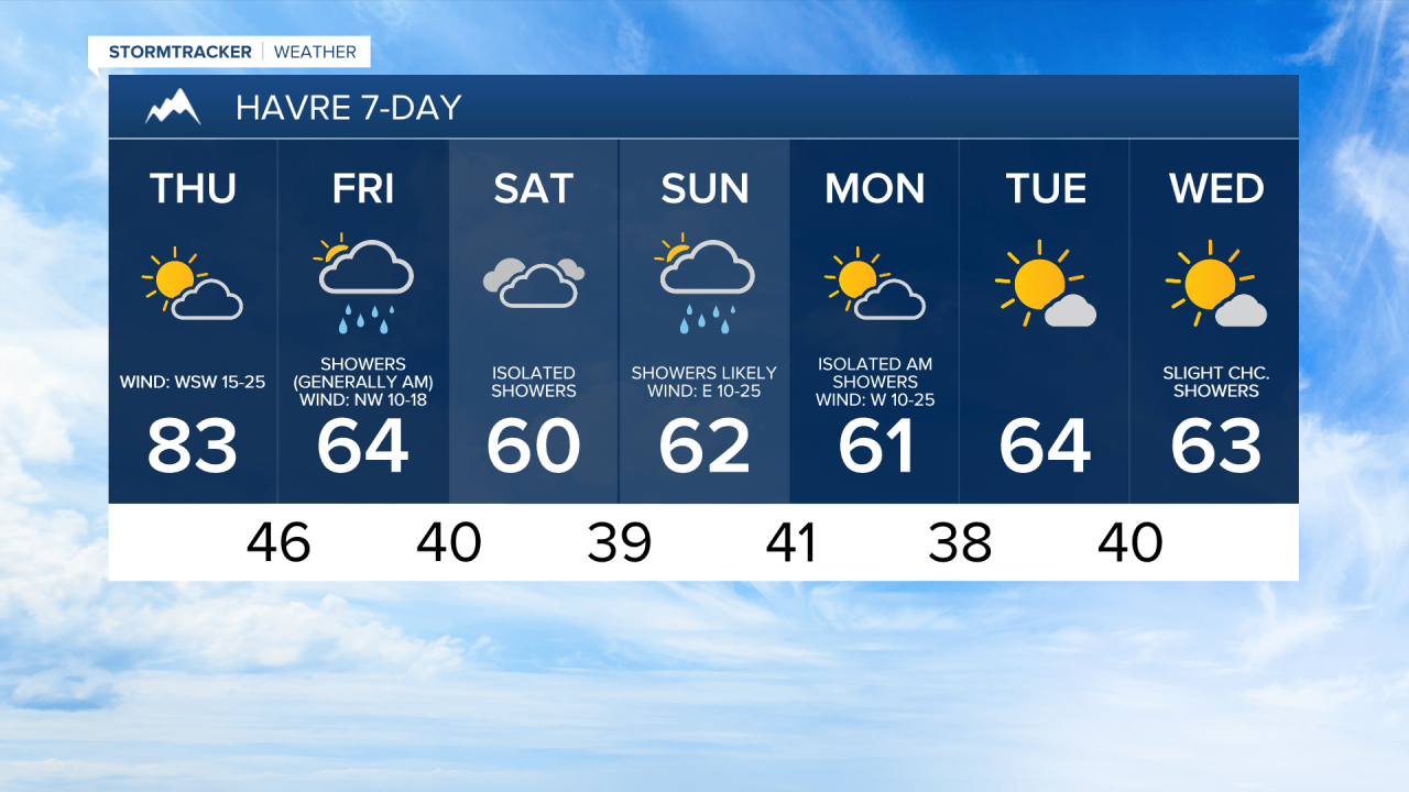
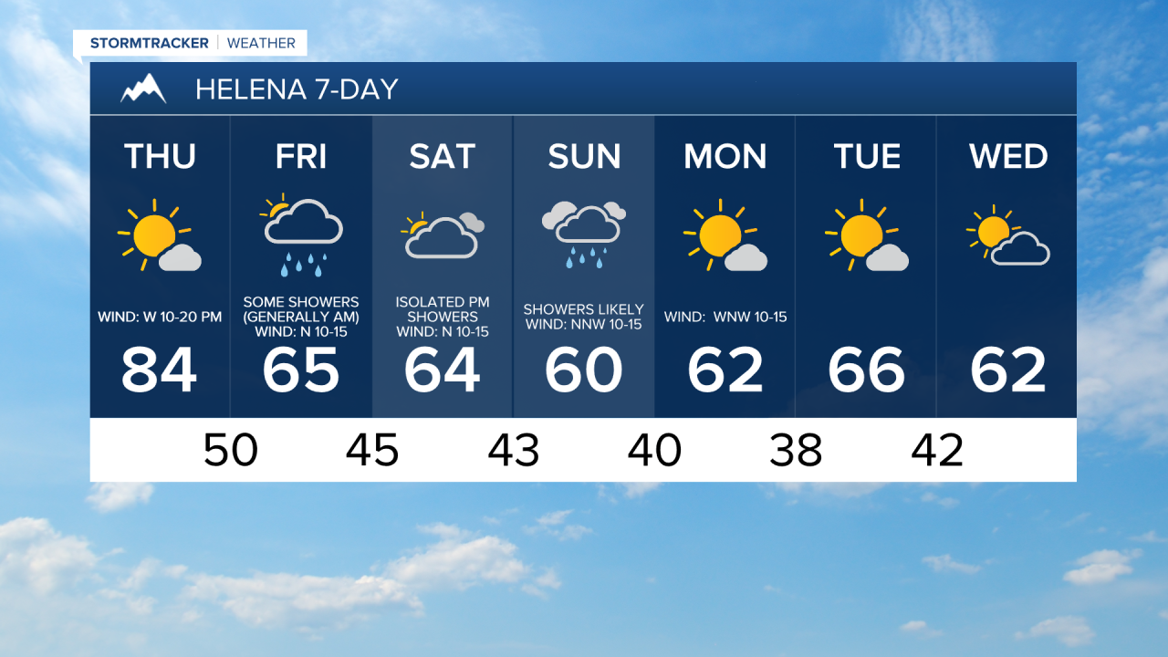
It is also going to be warm today, and today is going to be the warmest day for the foreseeable future, as highs are going to be in the 70s and low to mid 80s. Skies today will be partly to mostly sunny.
There will be showers around tonight and tomorrow as a cold front moves through the region, with the most widespread rainfall occurring between midnight and noon tomorrow. Plan for a wet morning commute tomorrow and allow a little extra time to reach your destination. Most of north-central Montana is expected to receive 0.10" to 0.50" of rain, with a few locations picking up as much as 0.75". Glacier National Park could also see a light accumulation of snow at the higher elevations.

Much cooler temperatures are expected behind the cold front as highs tomorrow are only going to be in the 50s and low to mid 60s. The wind will be weaker tomorrow than it will be today, but it is still going to be a little breezy as sustained wind speeds are going to be between 5 and 20 mph. Skies tomorrow will be partly to mostly cloudy.
Saturday will be mostly cloudy to overcast with a few showers around as a stronger storm system approaches the state. Precipitation will become more widespread Saturday night, and Sunday looks wet with showers likely throughout the day as the storm system passes through our area. A few isolated thunderstorms are also possible.
In the mountains, temperatures will be cold enough for accumulating snow Saturday night and Sunday, with snow levels potentially getting as low as about 6000 feet. Some of the higher peaks in the Rockies could receive over a half foot of snow. Temporary closures of Going-to-the-Sun Road and the Beartooth Highway are possible.
Cool conditions will persist through the weekend, with highs mainly in the 50s and low to mid 60s. Breezy conditions are also expected, especially from Saturday afternoon through Sunday morning, with sustained winds of 10 to 25 mph, and gusts up to 40 mph are possible.
On Monday, skies will gradually clear as the weekend storm system exits the region. A few lingering showers are possible east of I-15 during the morning, but most locations will remain dry. It will also be breezy and cool on Monday, with sustained winds of 10 to 20 mph and highs in the mid to upper 50s and low 60s.
Tuesday looks pleasant, featuring mostly sunny skies, dry conditions, and comfortable temperatures. Highs will be in the upper 50s and low to mid 60s. Wednesday will be partly cloudy with a few isolated showers. Highs will remain in the mid to upper 50s and low to mid 60s.


Have a tremendous Thursday!
Chief Meteorologist Ryan Dennis
