

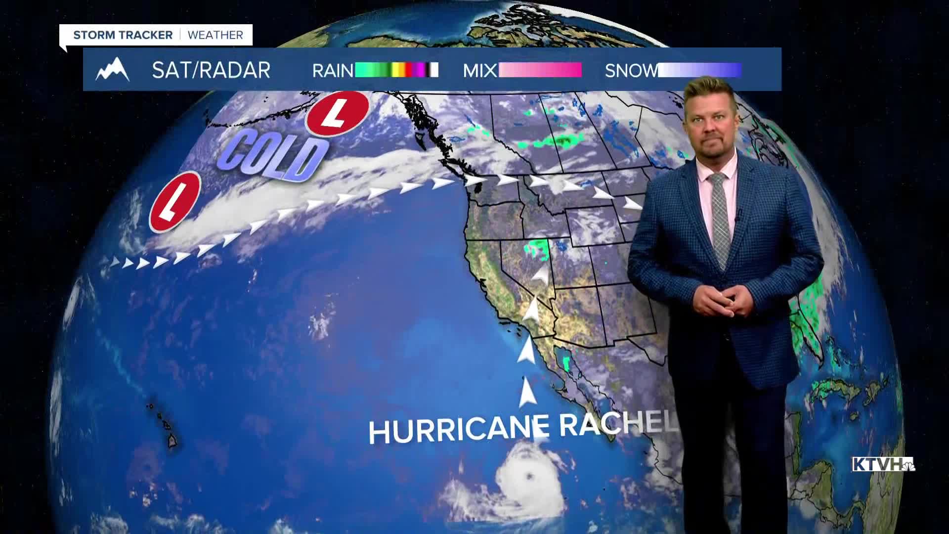


After days of sunshine and warm temperatures in the 70s and 80s, the temperatures will drop to the 30s and 40s like it saw a police officer. Don't speed! It's just an analogy. BIG changes are coming to Montana. Changes are still days away, and the rest of the workweek will continue to be warm, sunny and dry with some late season fire danger. Temperatures will be above average, and with bouts of wind, there's a late season increase in fire danger. There are also numerous prescribed burns planned by the National Forest Service through this week. Wednesday will be slightly cooler with less wind, but still dry and sunny. Highs will be in the 60s and 70s. Thursday will be mostly sunny with light wind and highs in the 70s. Friday will start to turn partly cloudy with an increase in the wind out of the southwest. Highs will top out in the 70s and 80s. A strong cold front will move south through Montana on Saturday. Temperatures will tumble, and some light rain will mix with and turn to snow. Saturday will start out with temperatures in the 40s and 50s, but most areas will experience falling temperatures and snow levels through the afternoon. Areas of snow could become widespread through Saturday night into Sunday. Sunday looks cold and snowy for a good part of Montana. Some of the lower elevations may have a rain/snow mix, and some of the eastern plains could have just a cold rain. Snow, rain and significant moisture could continue into early Monday. One aspect that is complicating this forecast is Hurricane Rachel off the coast of Baja California that could contribute moisture and energy. There is potential for significant snow accumulation in the mountains, and accumulating snow of several inches in the lower elevations. A rebound in temperatures up into the 60s and maybe even the 70s is possible by Tuesday. Winter is not settling in just yet, it's just a little tease.
Have a great day,
Curtis Grevenitz
Chief Meteorologist
