


Burning just below the surface in parts of southeastern Montana is something that has caused millions of dollars in damage—destroying land, homes, livestock and livelihoods.
Coal seams are a natural part of the geology in this part of the state but can cause big problems when they catch fire.
An effort recently got underway in one area that has seen more than its share of these fires.
“I see the devastation that it causes everyone every summer, you know, across eastern Montana,” says Cory Cheguis, a volunteer firefighter and deputy emergency services coordinator for Custer County.
The fires can burn for years underground before causing a wildfire to spark.
“On a hot, dry summer day it takes nothing for the fuels to ignite from the burning coal seams,” he says.

A perfect example is last summer's Richard Spring Fire, which started in Rosebud County in August and quickly spread to more than 170,000 acres.
A big fire in Colorado that destroyed more than a thousand buildings late last year was also linked to underground coal veins that have long been smoldering.
How many of these burning coal seams there are and where they are located has been mostly a guessing game. Until now.
But thanks to a grant from the Rosebud Conservation district, we’ll soon have a better idea.
Cheguis has been going up in a small plane equipped with special equipment that picks up heat. They have been flying grid patterns over the four-county area that includes parts of the Crow and Northern Cheyenne reservations—pinpointing GPS coordinates of hot spots from the air and then hiking into those areas to see if they are indeed coal seam fires. Most are.
“It got us within 100 feet of every coal seam so far,” Cheguis says.
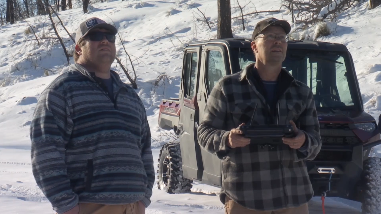
While the fires often can’t be seen with the naked eye—you can clearly see them from the thermal imaging camera on Clint Pedersen’s drone.
He owns a company that helps mitigate coal seam fires and is also assistant fire chief in Broadus.
“It’s a disaster. We are a volunteer fire department, but we are full-time firefighters from about the middle of May all the way through October anymore, largely because of this. We have 80 fires a year and most of them are coal seam fires,” Pedersen said.
It can be difficult, if not almost impossible, to get these underground fires out. But there are ways to mitigate them.
“This particular one we were discussing, and I do think if you got an excavator down there you could get this bank off and actually remove it, but most of them are in such rough country that you can’t get to them so you would have to bulldoze around them, take all the fuel away basically. And just live with it and check it yearly so,” he says.
The hope is that once the coal seam fires are mapped, it will not only assist landowners and firefighters, but also make it easier to get federal help for this problem burning just below the surface.
“Knowing where they are is a start to the solution because without knowing where they are, how do you show your need to the federal government of the problem we have here?” Cheguis says.
TRENDING ARTICLES
- Flights from GF to Chicago will resume
- Obituary: James Allen Van De Riet
- Preview of new apartment complex in GF
- FAIL: trying to drive across Yellowstone River
- GF woman charged with stealing a car

