


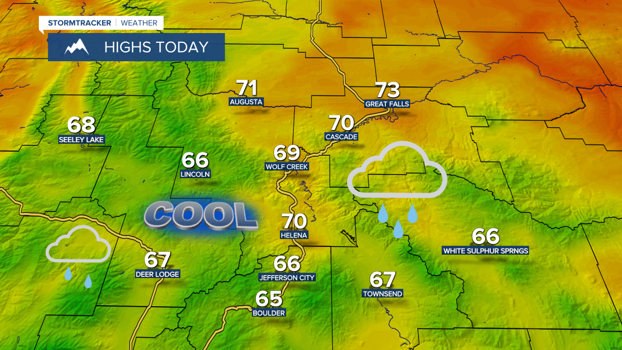
We've got a couple of cooler, cloudy, and showery days ahead for the rest of the workweek. High temperatures will run 5-10 degrees cooler than average in central Montana in the 70s. It does still get fairly warm in eastern Montana as high temperatures hit the 80s. The focus of the showers shifts to the Hi-Line on Friday, with just some spotty showers and thunderstorms across the rest of the area.


Full Forecast:
A weekend pattern shift will bring us a quick warming and drying trend for the holiday weekend with sunshine and highs back in the 80s. In fact, it'll get into the upper 80s and potentially a few low 90s on Sunday and Labor Day. High pressure will keep us sunny and dry.

The temperatures start to trend cooler as we head towards the middle of next week. Highs will fall back towards the upper 70s and lower 80s, more seasonable for early September. A few scattered showers and thunderstorms are possible on Tuesday.


