

Happy Friday Eve! An electric and stormy night in Fergus County as a line of thunderstorms brought hundreds of lightning strikes and wind gusts as high as 71 mph. Strong to severe thunderstorms continue to impact eastern Montana, but that wave of thunderstorms will exit the state over the next couple of hours.
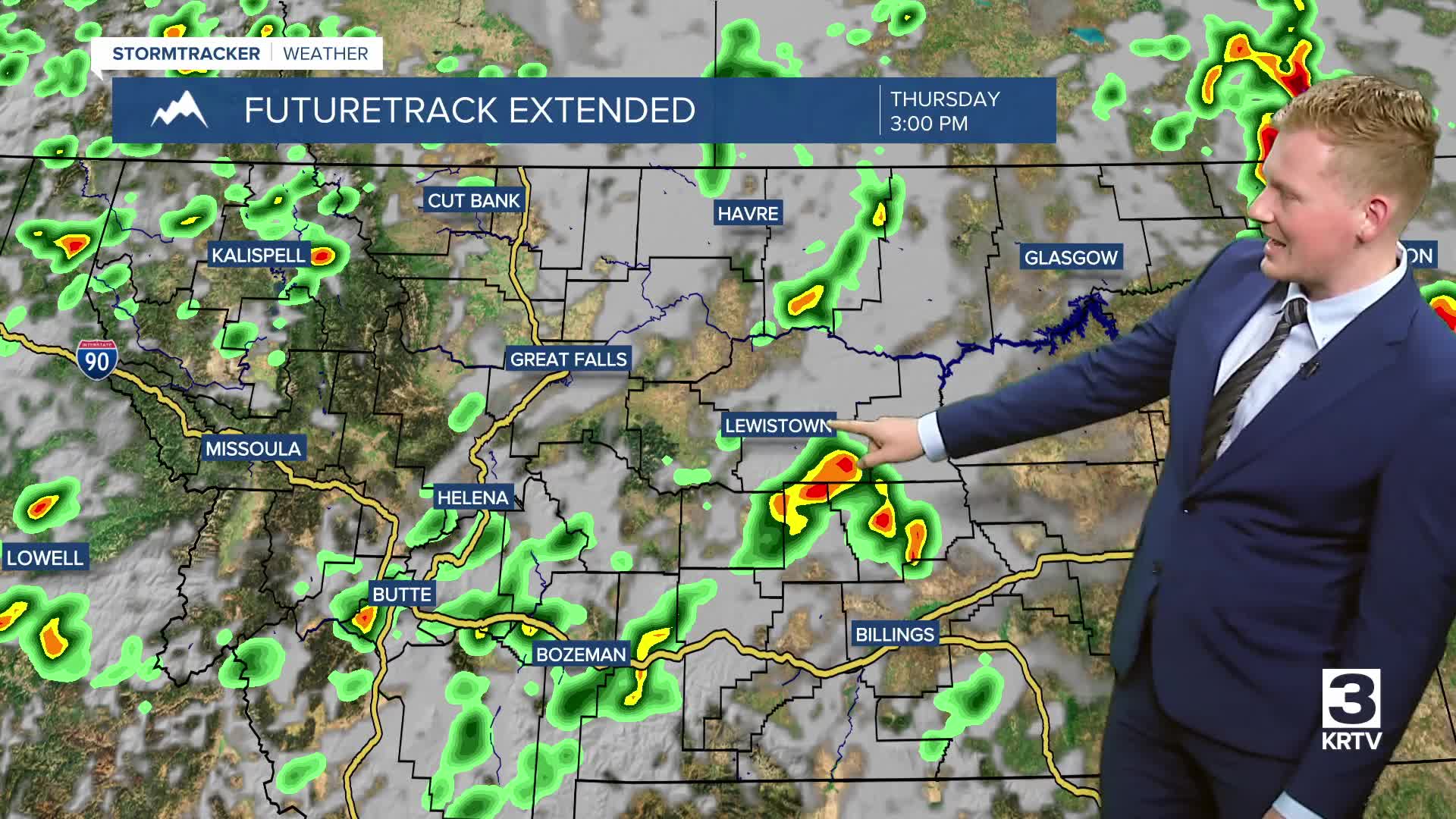
The next round of showers and thunderstorms will develop this afternoon and storms will generally push from northeast across the area. Some of the thunderstorms could produce damaging wind gusts and hail. The yellow-shaded areas have the highest risk for a severe thunderstorms, meanwhile an isolated severe thunderstorm or two is possible in the dark green-shaded areas.

An upper-level low sweeps across the state bringing cool and blustery weather on Friday. Clouds, showers and isolated thunderstorms will rotate around the low. Daytime highs will be cool in the 60s and low 70s. A strong westerly breeze will develop Friday morning for the entire area, with wind speeds between 15 and 25 mph gusting up to 40 mph at times.
The weekend looks pleasant as the system exits the area. It'll stay a bit breezy but temperatures will warm from the 70s on Saturday to the 80s on Sunday. A nice stretch of mostly dry weather continues into next week with warmer temperatures in the 80s.
