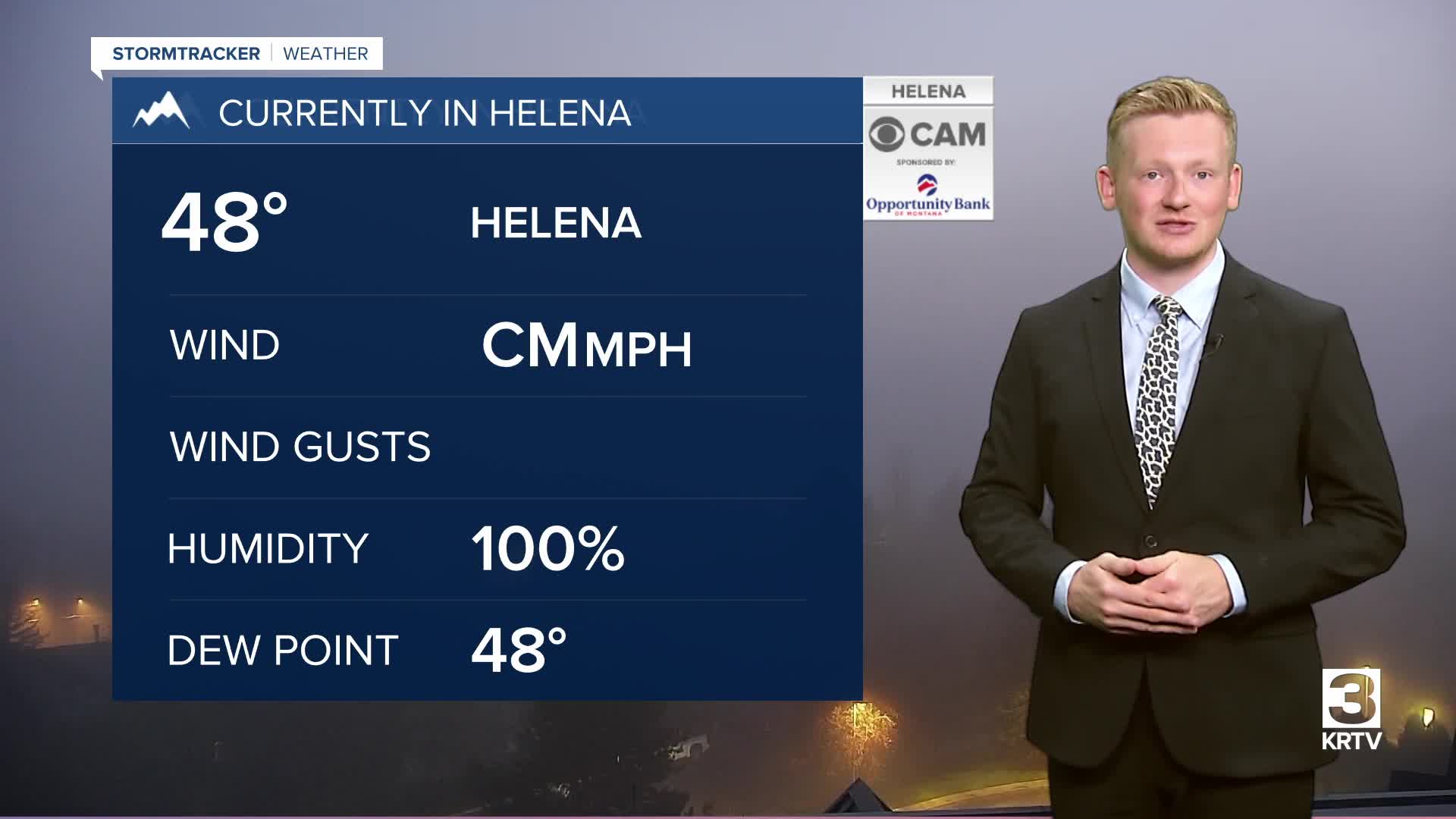


It's a foggy start to the workweek in Helena, but the fog will lift throughout the rest of morning, giving way to sunshine for everyone. However, clouds will build in later today, accompanied by scattered showers and thunderstorms this evening.
Check out the forecast:

A system continues to move through the area, keeping the chance for showers around through Tuesday. Daytime highs will only reach the 60s in the Helena area, low to mid 70s in central Montana and upper 70s and lower 80s for eastern Montana. On Tuesday, temperatures will warm into the mid to upper 70s in central Montana and upper 70s and lower 80s in eastern Montana.


The rest of the workweek will be mostly sunny as high pressure strengthens over the West. Well above-normal temperatures are expected into the weekend, with highs around 10 to 20 degrees above average, reaching the 80s.

As the high pressure ridge breaks down Saturday night into Sunday, clouds will move in, and winds will strengthen across the Rocky Mountain Front and plains. There is concern for gusts of 40 to 50 mph on Sunday and Monday.


