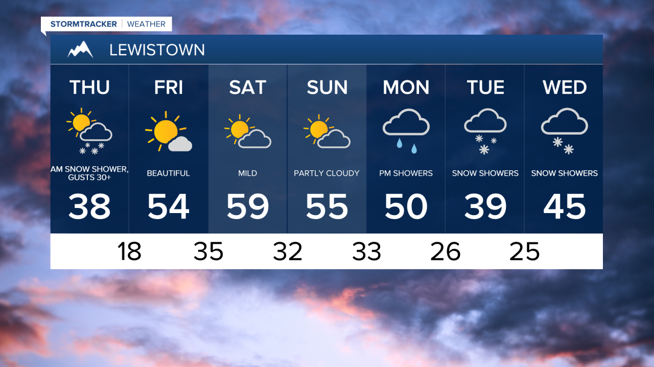
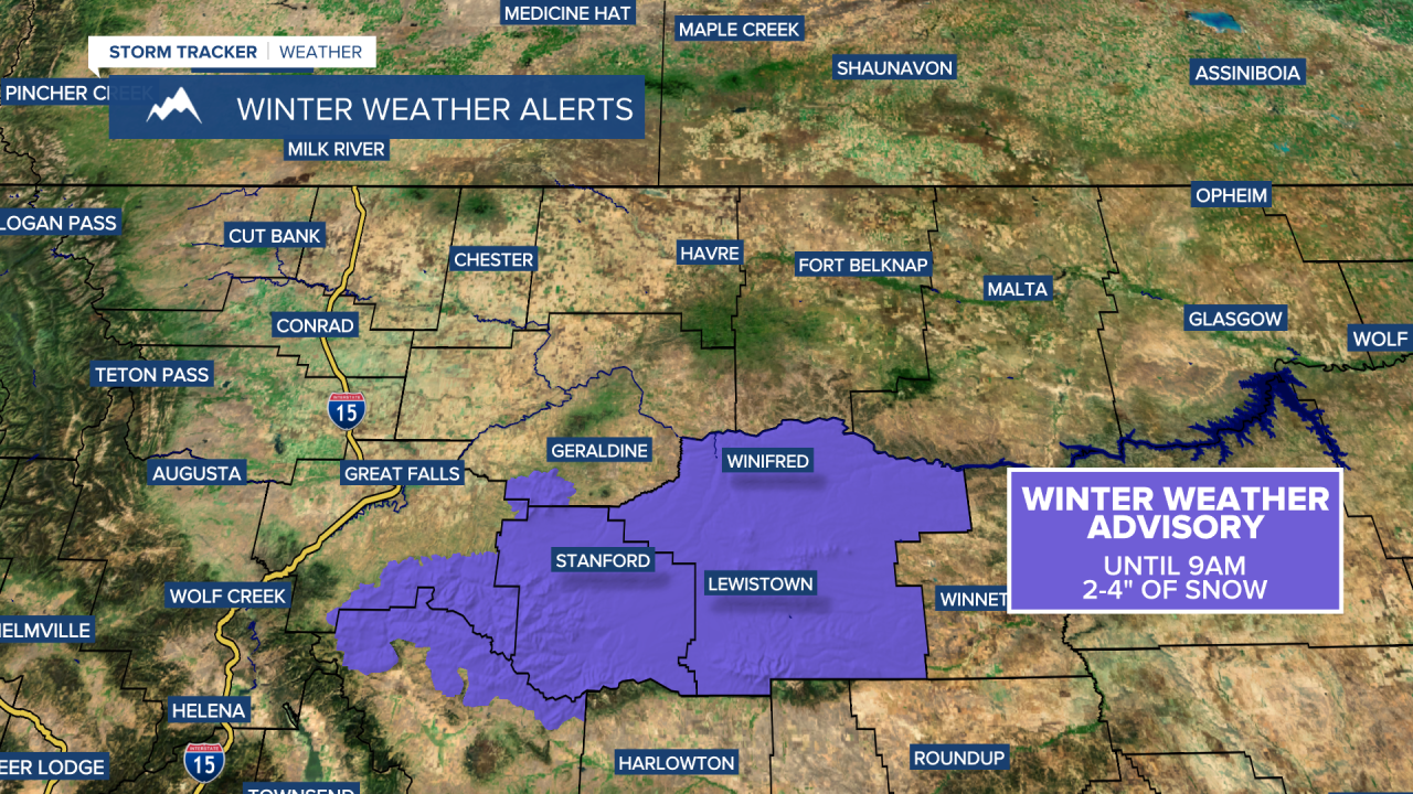
Snow is coming down early this morning in the mountains and throughout Judith Basin and Fergus counties. Most roads are just wet, but 2-4 inches of snow have fallen, so a few roads could be slick or slushy. Take it slow! The snow will wrap up quickly this morning. A Winter Weather Advisory is in effect through 9am.
Thursday Morning Forecast:

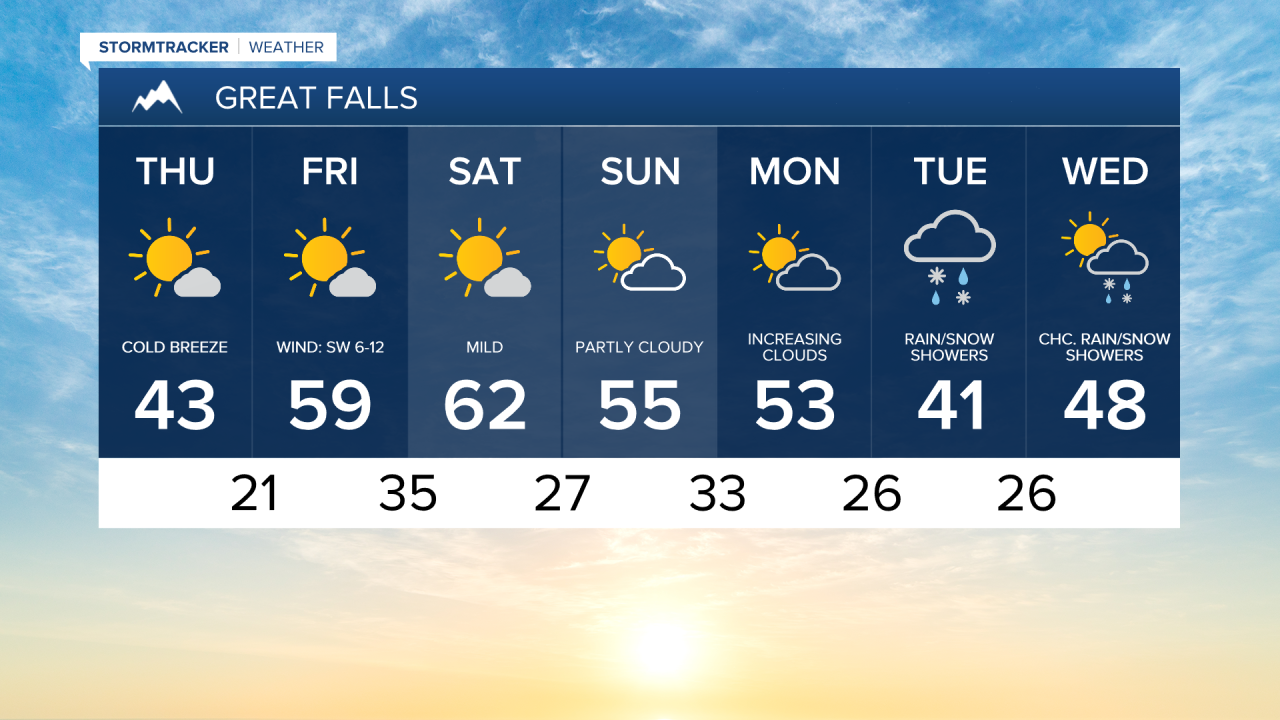
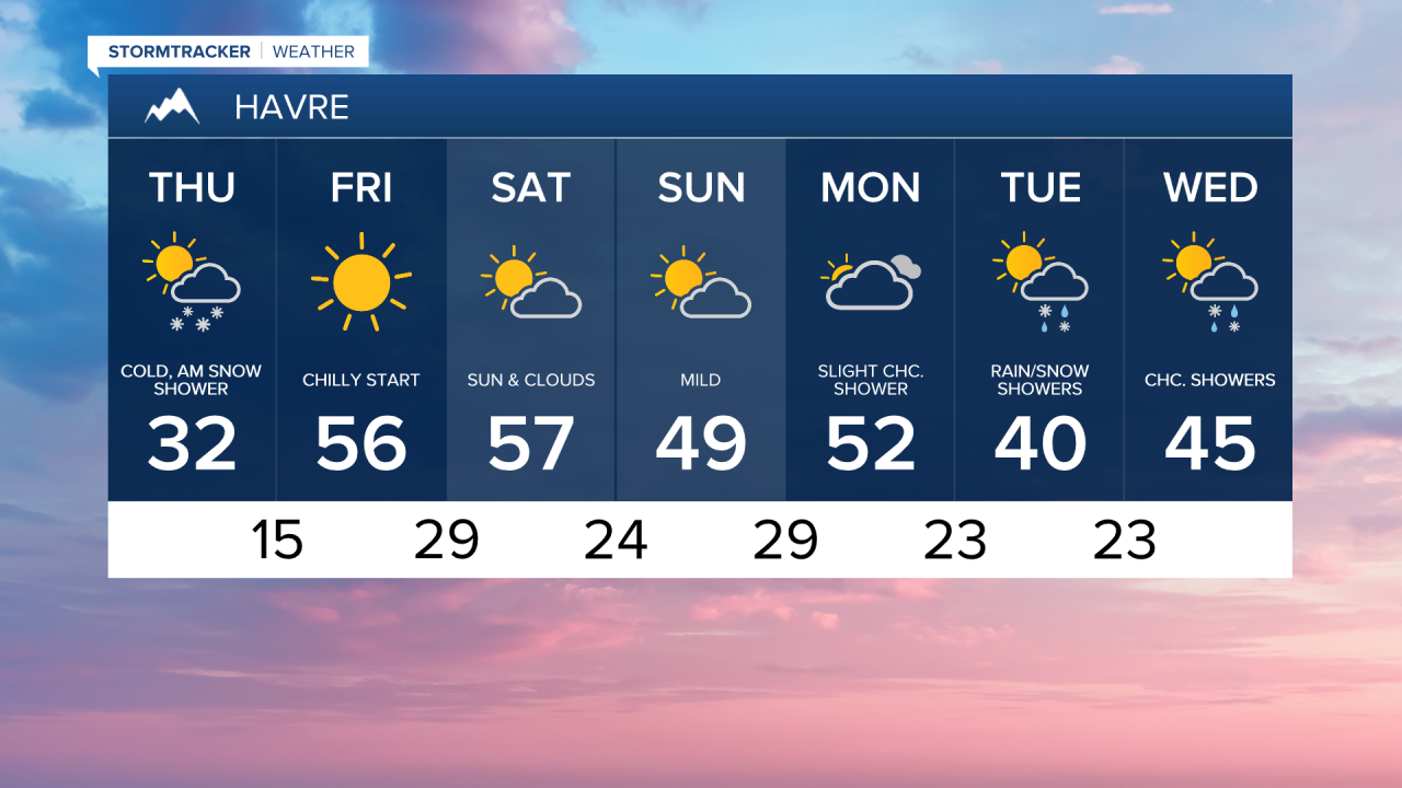
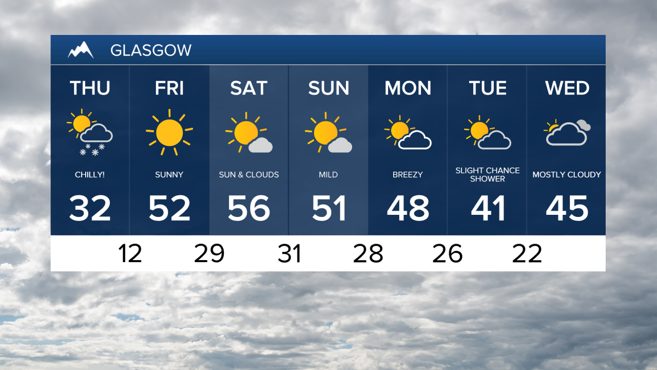
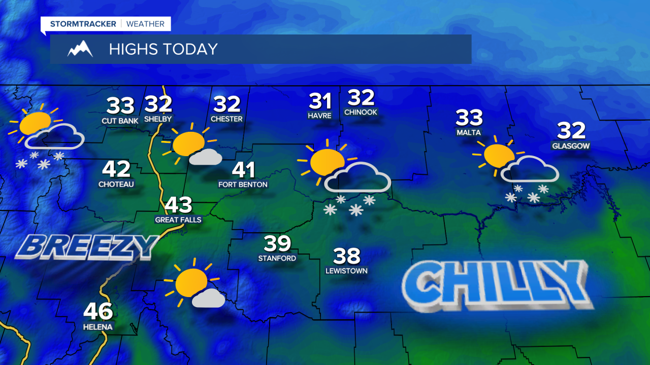
A few lingering snow showers may continue into the afternoon on the Hi-Line and in the mountains, but otherwise it will be mostly sunny to partly cloudy. Much colder with highs in the upper 20s and lower 30s on the Hi-Line and upper 30s and lower 40s in central Montana with a cold westerly breeze.

It's going to be a frigid night with temperatures dipping back into the 10s and 20s. Friday will be beautiful with mostly sunny skies and highs in the 50s. The wind will be much lighter for Friday and into this weekend. High temperatures will be in the 50s and lower 60s on Saturday, cooling to the 40s and 50s on Sunday.
Several storm systems will move through next week under an active westerly flow. This will bring rounds of mountain snow, as well as rain and snow in the lower elevations, with over a foot of snowfall possible in the mountains and some accumulation in the lower elevations, especially on Tuesday and Wednesday. Temperatures fall below average, with highs in the 30s and 40s.