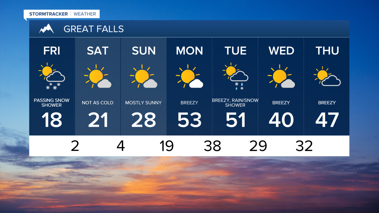
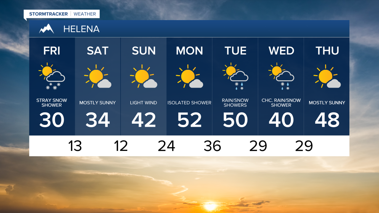
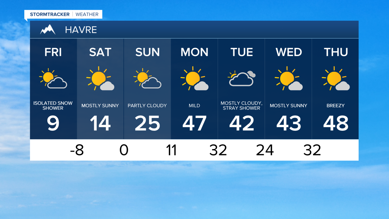
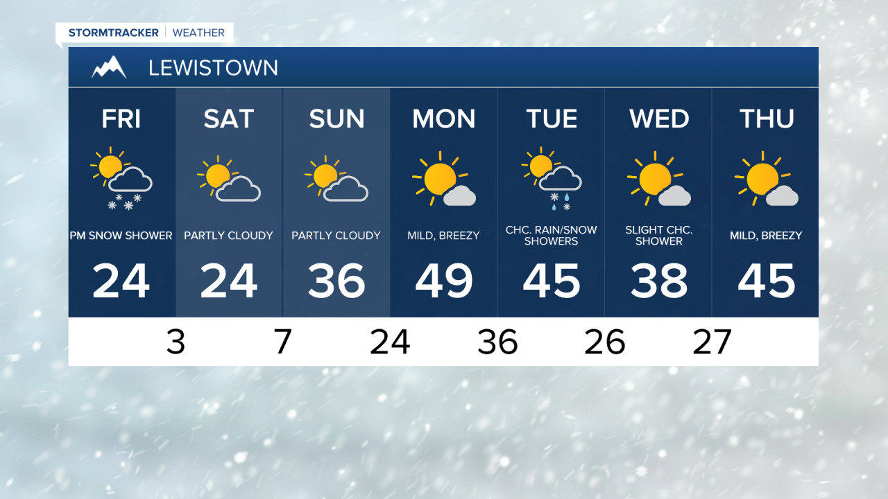
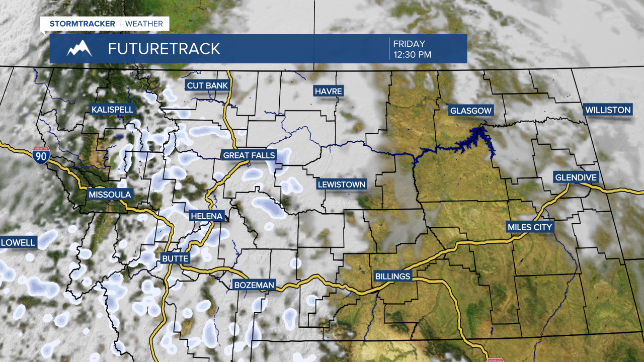
Light snow showers have started falling in the mountains, and a few snow showers could move across central Montana throughout the morning and afternoon. Accumulations will be light and mainly confined to mountain passes. It will be another cold day, with high temperatures in the 10s and lower 20s in central Montana, and upper 20s to lower 30s near Helena.
Today's Forecast:
The snow and clouds clear out for the weekend as high pressure moves back in. High temperatures remain quite cold on Saturday, with highs in the 10s on the Hi-Line, 20s in central Montana, and 30s near Helena. Sunday will be mostly sunny, with highs in the 20s and lower 30s in central Montana, and upper 30s to lower 40s near Helena.
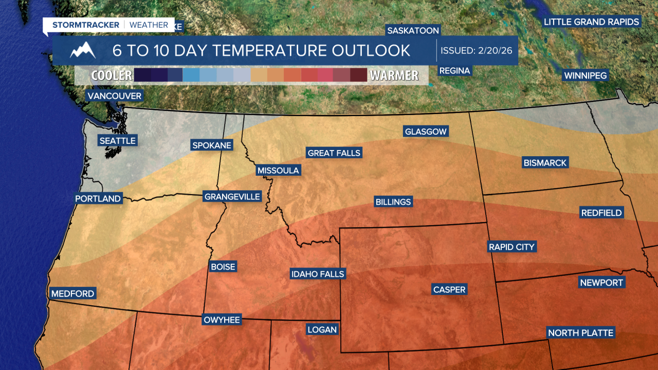
A chinook wind will push out the Arctic air on Monday, bringing highs into the upper 30s to 40s on the Hi-Line and upper 40s to 50s across central Montana. Wind gusts could reach 30 mph across the plains.
On Tuesday, stronger winds and some rain and snow showers are expected along a cold front. Wind gusts over 40 mph are possible along the front. Daytime highs will cool from the 50s to the 40s from Tuesday to Wednesday.