Very light, lingering snow will be possible into the overnight hours on Monday, but overall, we're seeing a nice drying trend emerge after our strong, Canadian cold front and associated system!

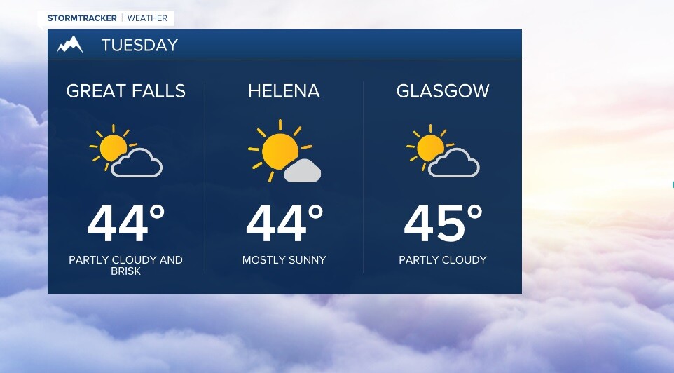
Expect a nice mix of clouds and sun for Tuesday with below average highs generally in the mid 40s.
Wednesday will offer up ample sunshine with highs now back to normal readings in the mid 50s.
Our next system will bring rain and snow Thursday into early Friday with breezy conditions. As of now, precip. type should remain as rain during the day (outside of the mountains), but could drop to lower elevations during the evneing bringing about a change to snow. Any change in the frontal passage timing could have a significant impact on the timing of the changeover to snow, so stay tuned!
Highs look to top out in the low 50s Thursday and drop behind a cold front into the mid 40s for Friday.
Right now, it looks like the weekend will feature more clouds than sun with breezy conditions and highs in the 50s.