
The day will start out cloudy and windy with gusts near 60 mph this afternoon.
The wind however will help to warm the temperatures, allowing for highs in the mid to upper 50s.
A few spotty showers will dance throughout the area most of the day.
This evening is when weather conditions take a turn for the worse.
An aggressive cold front will settle in around eight this evening.
The wind is expected to remain very strong as this front settles in and the rain will quickly turn to snow.
Widespread snow is expected through the night with accumulations around 1 to 2 inches by morning.
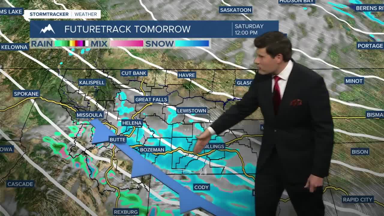
Scattered off and on flurries are expected to continue on Saturday with the heaviest snow on Saturday is expected front Helena south.
Another batch of moisture is on track to move through the state Sunday evening.
This round of snow will add an additional few inches of accumulation to our area.
Forecast models are suggesting 1 to 3 inches are possible from Great Falls to Lewistown once it's all said and done.
Very limited accumulation is expected along the Hi-Line, likely less than an inch.
Helena on the other hand will likely see 3 to 5 inches through Sunday.
Overnight lows are looking to trend in the low 20s through the first portion of next week.
Forecast models are hinting at slightly warmer temperatures on Tuesday.


