

WEATHER DISCUSSION: Another day of above-average temperatures graced the North Central MT forecast. Highs remained in the upper 30’s and 40’s for the most part, though places along the Rocky Mountain Front saw the highs reach into the low 50’s. 2023 will go out with more tranquil conditions as upper-level ridging continues to provide quiet and unseasonably warm temperatures across the state.
Temperatures will cool off a bit to start out the New Year on Monday as an upper-level trough pushes through the area. This will bring a weak cold front and a few isolated light snow showers and flurries to the area but mostly in the Northwestern portion of the state and along the Hi-line. The snow is not likely to accumulate, however.
While temperatures will be slightly cooler in the wake of this front, we will still be above average, with most areas seeing highs in the 30s to around 40 and low 40s with lows dipping to the teens and 20s. Upper-level ridging will return to the area for midweek, continuing dry conditions once again. This warm and dry spell will look to come to an end as we head to the weekend, however, as the first in a wave of upper-level disturbances pushes into the Northwestern US, which will look to bring the most widespread moisture we have seen since before Christmas.


SUNDAY NIGHT: Mostly clear with lows in 20’s and 30’s. 5 to 10 mph winds with gusts possible up to 20 mph and 30 mph for some portions of North Central Montana.
MONDAY (NEW YEAR’S DAY): Mostly sunny then mostly clear with highs in the 40’s and lows in the 20’s. 10 to 20 mph winds with gusts up to 30 mph then calming down during the evening.
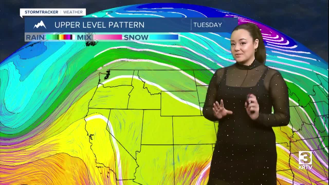
TUESDAY: Mostly sunny then partly cloudy with highs in the 40’s and lows in the 20’s. 5 to 10 mph winds.
WEDNESDAY: Partly sunny then mostly cloudy with highs in the 30’s to 40’s and lows in the 20’s. 5 to 10 mph winds.
THURSDAY: Mostly sunny then partly cloudy with highs in 30’s to 40’s and lows in the 20’s.
FRIDAY: Chance of snow and mostly cloudy with highs in 30’s to 40’s and lows in the 20’s.
SATURDAY: Chance of snow and mostly cloudy with highs in 30’s and lows in teens.
