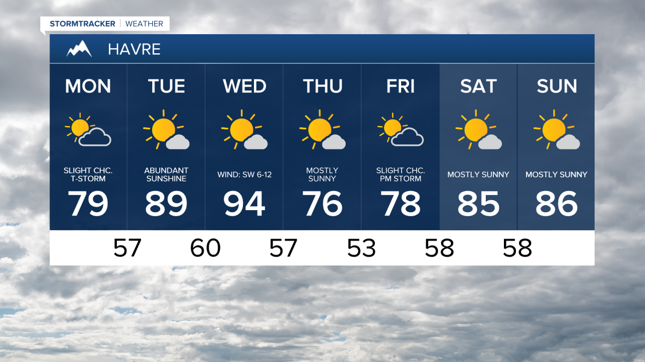


A strong northwest flow is bringing in some clouds and cooler air into the region, high temperatures will stay in the mid to upper 70s and lower 80s, which is below average for August.


We'll have some showers in the morning east of Havre on the Hi-Line, and then a very isolated shower or thunderstorm in central Montana throughout the afternoon and evening.
Winds will get fairly gusty across eastern Montana, especially over Fort Peck Lake. Wind speeds will be between 5 and 15 mph in central Montana and 10 and 25 mph gusting up to 40 mph in eastern Montana.

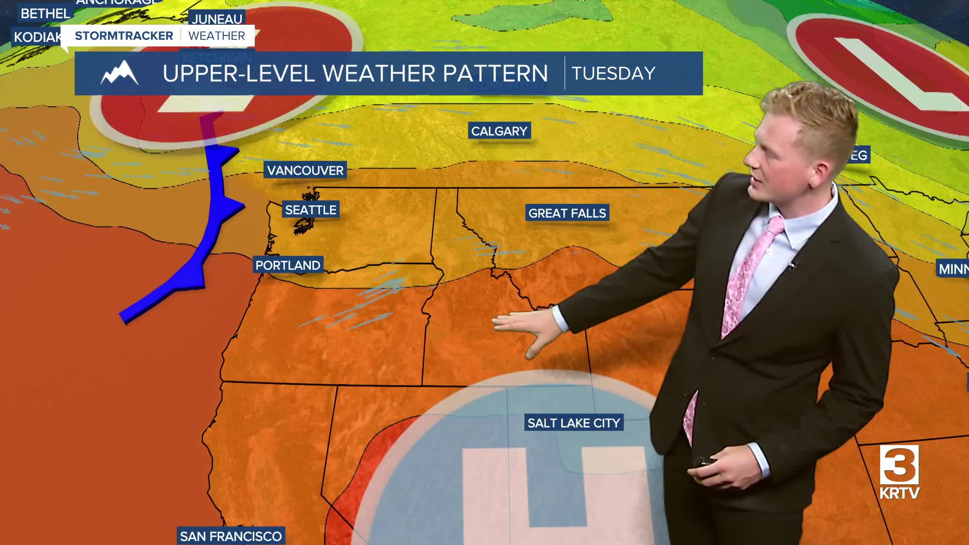
Temperatures will heat up on Tuesday and Wednesday due to a big ridge of high pressure building in from the West. High temperatures will reach the upper 80s and low 90s on Tuesday and low to mid 90s on Wednesday.

It'll get gusty again on Wednesday ahead of a cold front that passes through during the evening. Temperatures will fall below normal by Thursday and Friday, and an isolated shower or thunderstorm can't be ruled out through the end of the week. Most places stay dry.

Showers and storms return to the picture this weekend as a southwest flow looks to develop later on Friday. Temperatures will be right around normal for the upcoming weekend.