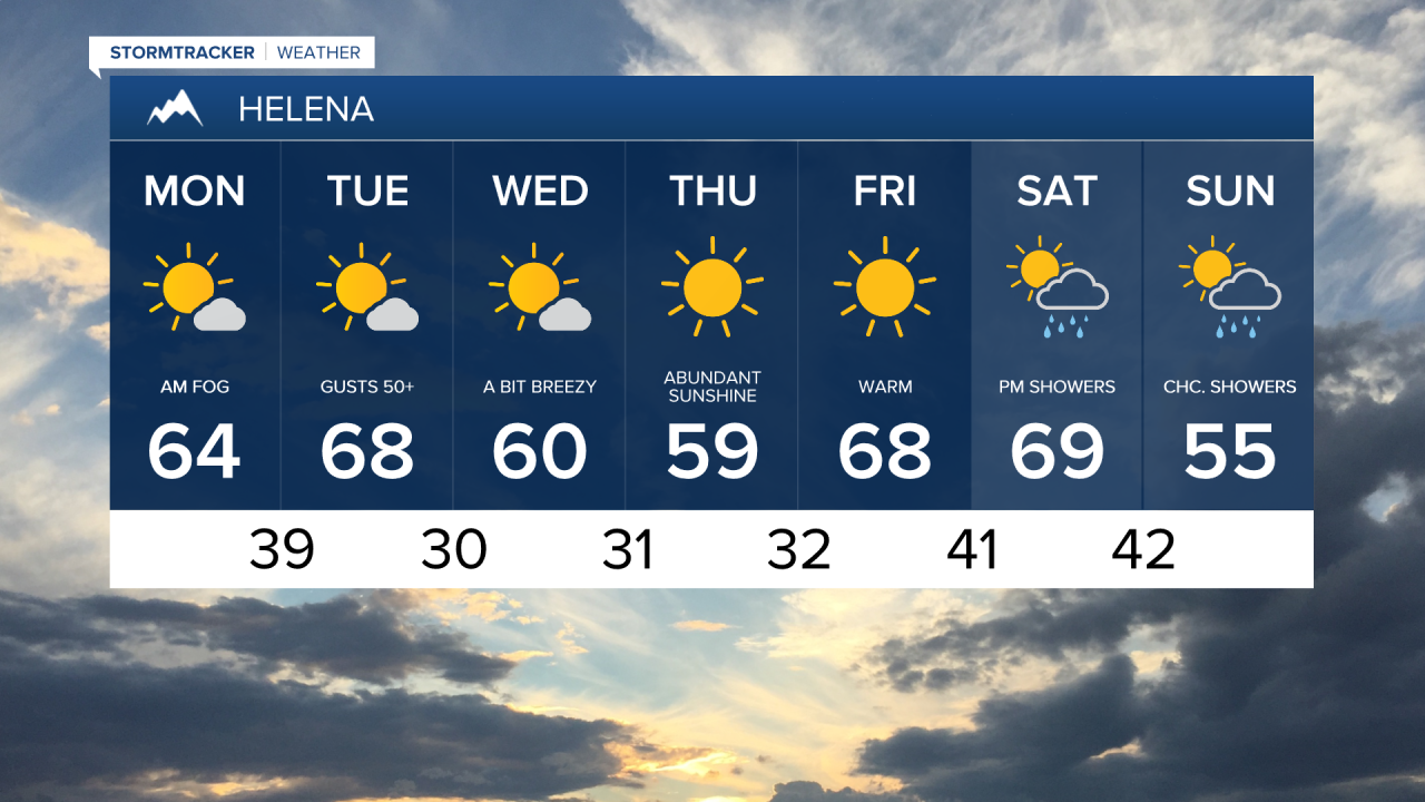
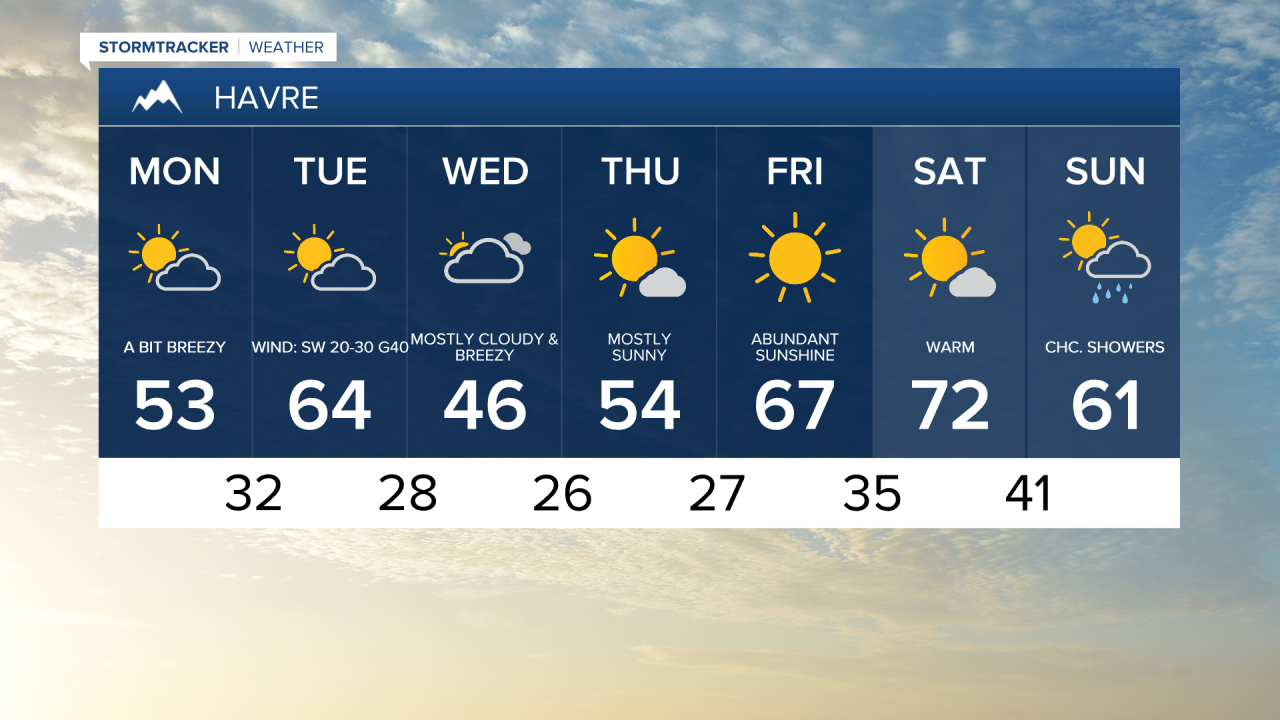
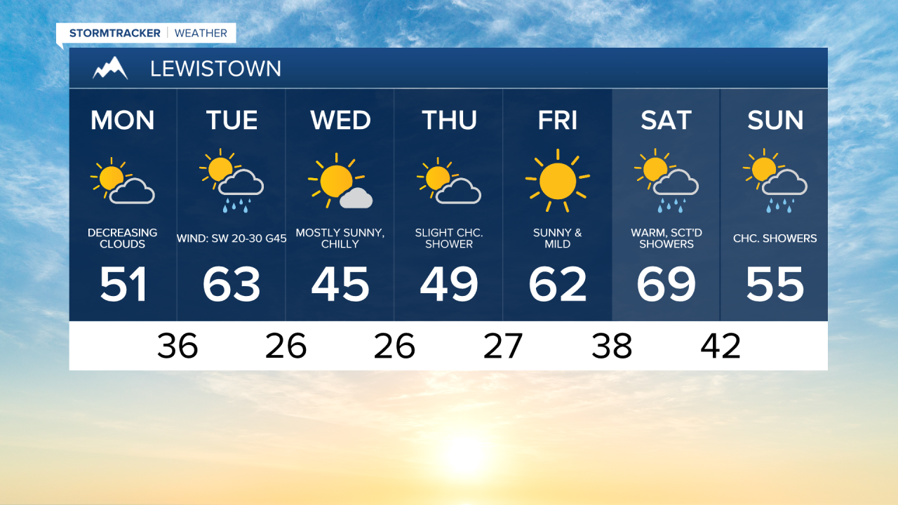
Happy Monday and Happy 406 Day! The week ahead will feature mild temperatures, stronger winds, a few isolated rain chances, and some light mountain snow. However, central Montana will stay mostly dry, with the best chance for showers arriving Tuesday night into Wednesday behind a cold front.
A gusty easterly wind will lead to a cool, blustery day along the Hi-Line, with highs in the 40s and lower 50s. It will not be as chilly farther south across central Montana, where highs will reach the 50s and lower 60s. Clouds will generally decrease throughout the day, but it will remain mostly cloudy further north.
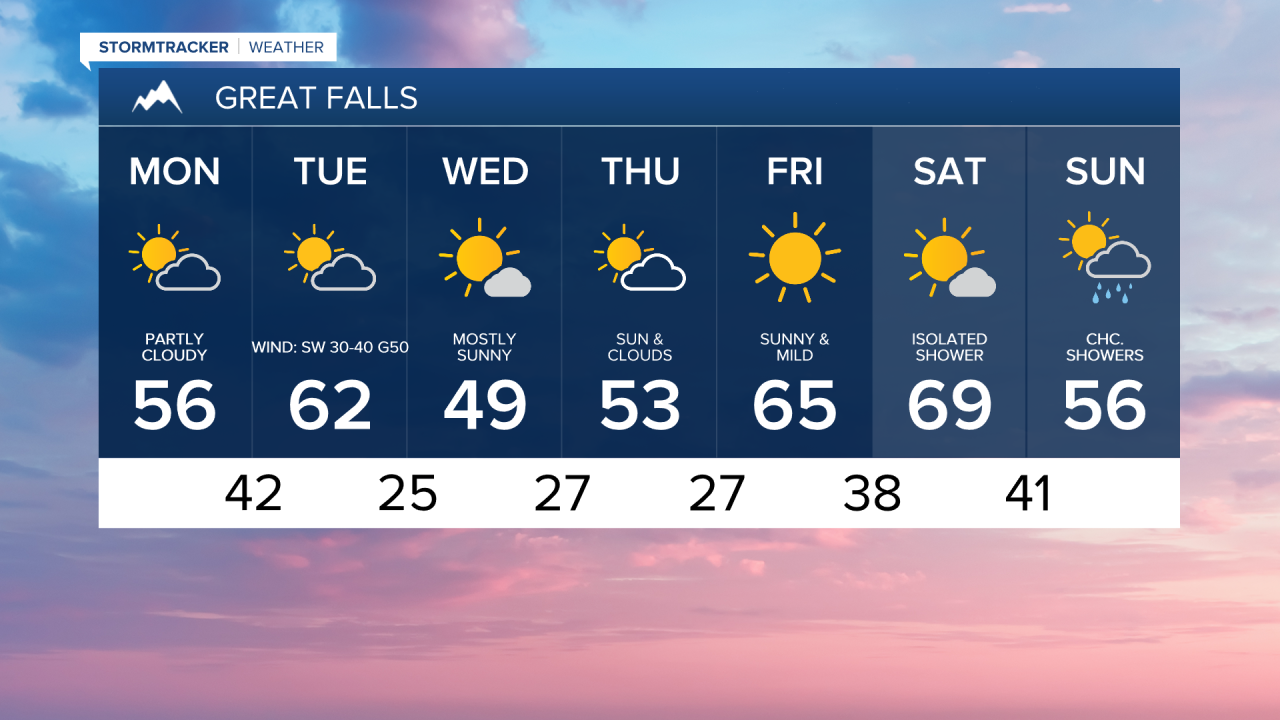
Gusty winds develop early Tuesday morning along the Rocky Mountain Front and then spread east through the rest of the day. High Wind Warnings go into effect at 3 a.m. for the Rocky Mountain Front and at 9 a.m. across the plains of central Montana, remaining in effect through 9 p.m. as winds begin to decrease after sunset.
Temperatures reach the 50s and 60s ahead of the cold front, then fall into the 30s and 40s behind it Tuesday evening.
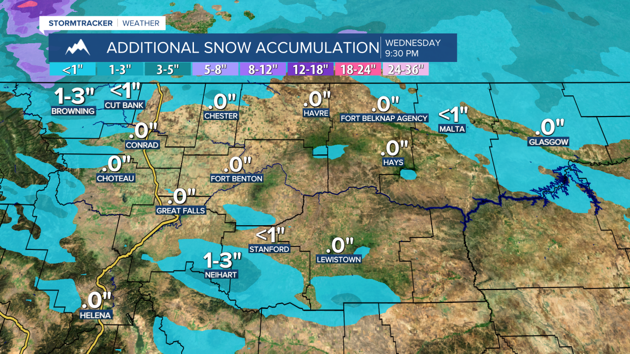
The cold front responsible for the strong winds will also bring some light mountain snow along with low-elevation rain and snow showers Tuesday into Wednesday morning. The Hi-Line west of I-15 could see some light snow accumulation, especially in Glacier County. High temperatures will cool to the 40s and lower 50s on Wednesday.
High pressure will bring sunshine and warming temperatures Thursday and Friday. Highs will reach the upper 40s and 50s on Thursday, then climb into the 60s to near 70 on Friday.
Another system is likely to move into Montana next weekend, bringing more low-elevation rain and snow showers along with accumulating mountain snow.