


No Memorial Day blizzard this year! Temperatures were in the 80s and low 90s Monday, but it’s going to heat up further Tuesday in some areas. In fact, eastern Montana will be one of the hottest spots in the country with highs climbing into the upper 90s and lower 100s.

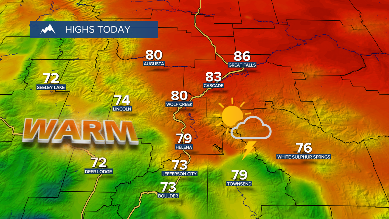
A cold front moves into western Montana and stalls out near the Continental Divide. That will create a pretty sharp temperature contrast across the state, with highs only in the 70s along the Divide and around Helena, while central Montana warms into the 80s and 90s and eastern Montana pushes close to 100 degrees. A Heat Advisory is in effect for northern Blaine, Phillips and Valley counties from noon to 9 p.m. Tuesday and Wednesday.
Tuesday Morning Forecast:
There won’t be much relief at night either, with overnight lows only dropping into the 50s and 60s.
That front will also help spark isolated showers and thunderstorms across central and western Montana during the afternoon and evening. There’s not a lot of moisture to work with, so many of these storms will be on the drier side. The main concerns will be gusty winds and lightning, although a few storms could also produce some hail or a quick heavy downpour.

Isolated shower and thunderstorm chances stick around through the rest of the workweek, and a couple storms could turn severe with damaging winds and hail as the primary threats.
Temperatures stay very warm to hot through Friday, with highs mainly in the upper 70s and 80s across central Montana. Chouteau and Hill counties into eastern Montana will continue to run much hotter, with widespread 90s and even a few triple digits possible.

A bigger pattern change arrives this weekend as a low pressure system pulls more moisture into the region. That should bring more widespread showers and thunderstorms along with a significant cooldown. Highs fall back into the 60s and 70s across central Montana by Saturday, then into the 50s and 60s by Sunday. Eastern Montana cools too, dropping back into the 70s and 80s by the end of the weekend.


