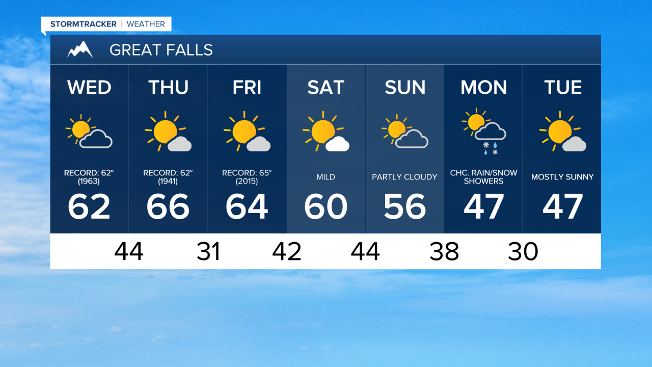
A stubborn high pressure ridge will continue to strengthen over the western United States this week, bringing well above average temperatures and valley inversions in the coming days. Wednesday will have highs in the 50s and 60s under partly to mostly cloudy skies. The record high in Great Falls for February 4th is 62°, set in 1963.

Today's Forecast:
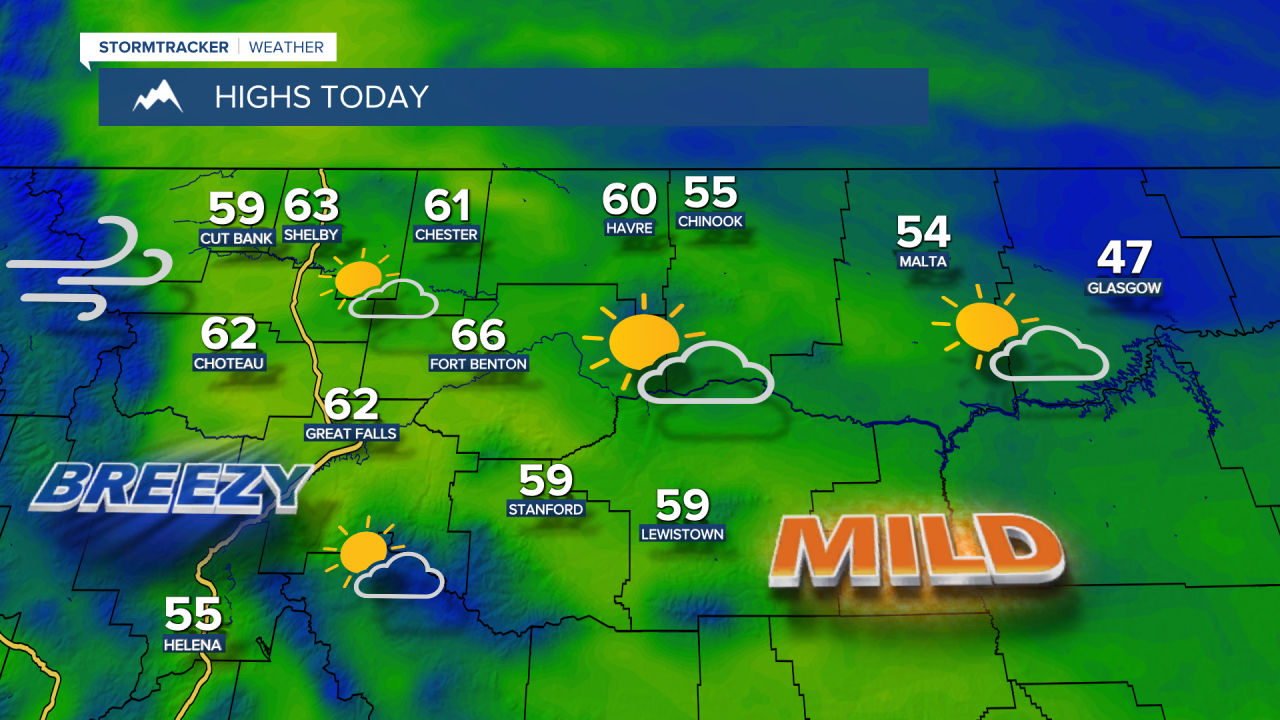
Winds will be stronger today, with gusts exceeding 50 mph along the Rocky Mountain Front and up to 40 mph east of the Front.
Thursday will be mostly sunny and unusually warm for February, potentially one of the warmest days ever recorded in Montana during this month. Record highs will be broken across the state as temperatures soar into the 60s and lower 70s. The all-time warmest temperature in Great Falls during February is 70°, and we may challenge that on Thursday.
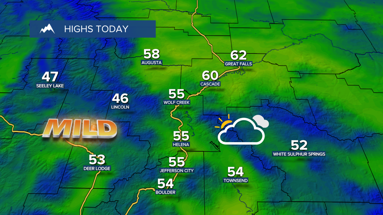
Friday and Saturday will be slightly cooler but still beautiful, with highs in the 40s and 50s on the Hi-Line and upper 50s to 60s in central Montana.
Clouds will increase heading into Super Bowl Sunday. Travel should not be an issue, aside from some mountain snow starting in northwest Montana. Daytime highs will be in the 40s and 50s. A cold front will moves through overnight into Monday morning, bringing a chance of rain and snow showers and falling temperatures.