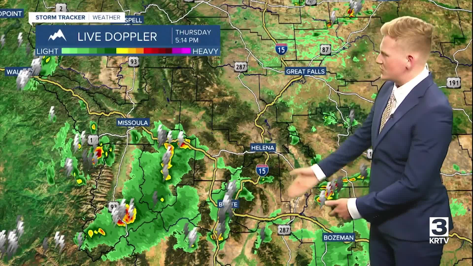


We've got a higher risk for thunderstorms Thursday afternoon and evening in the dark green-shaded areas. There is also a risk for flash flooding after 3 p.m., primarily for locations near burn scars, smaller creeks and streams, and poor drainage areas. Not everyone will see a storm today, but where you do, a 0.5" to 1" or more of rain could fall quickly.


A persistent southwest flow will help drive several disturbances across the region into next week, keeping near daily chances for showers and thunderstorms in our forecast. Heading into Friday, a more widespread areas of showers and thunderstorms will set up across central Montana.
Scattered showers and thunderstorms will continue into Saturday throughout central Montana, before the shower and thunderstorm threat shifts north to the Hi-Line into Sunday. Areas further south will stay mostly dry. Another disturbance will bring the threat of showers and thunderstorms into our forecast early next week.
Generally below average temperatures are expected through the middle of next week, with highs mainly in the upper 70s and low to mid 80s.


