We're starting off the day with two main areas of showers: one over eastern Montana and another over and just east of the Continental Divide. The rain will begin to spread into central Montana throughout the morning hours and into the early afternoon. After very poor air quality yesterday on the Hi-Line, the haze and wildfire smoke will dissipate today due to rain showers and a wind shift. Daytime highs will be in the 60s and low 70s, making it the coolest day of the week.

We'll have another round of gusty afternoon showers and thunderstorms on Friday. Those storms will develop between noon and 4 p.m. for central Montana and 3-8 p.m. for eastern Montana. This looks to be our best chance for severe weather so far this spring. The main hazards will be strong wind gusts, large hail, heavy downpours, and cloud-to-ground lightning. Make sure you have a way to get those weather warnings tomorrow!
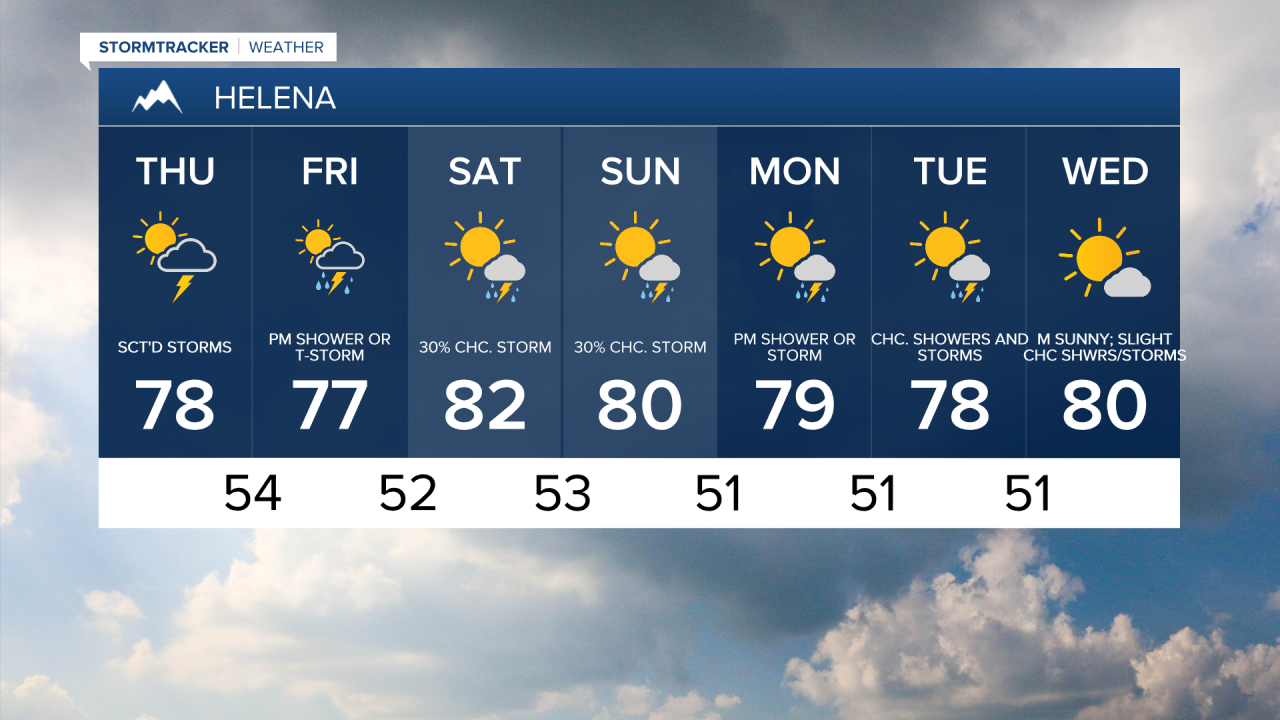
Temperatures will be in the mid to upper 70s and lower 80s on Friday, Saturday, and Sunday. Scattered showers and thunderstorms are expected each day during the afternoons and evenings this Father's Day Weekend. While each day is unlikely to be a complete washout, it's a good idea to have a way to check the radar if you have outdoor plans.
A similar setup continues into next week, with near daily chances of showers and thunderstorms continuing into Monday and Tuesday. Daytime highs will remain seasonably warm, in the upper 70s to low 80s.