


Thursday will be another hot one, with highs in the 80s and low 90s across central Montana and 90s to near 100 in eastern Montana. A Heat Advisory is in effect for Phillips and Valley counties through 10 p.m.


Highs stay in the 80s across central Montana and 90s in eastern Montana into Friday.
Thursday Morning Forecast:
Southerly flow will bring more isolated showers and thunderstorms this afternoon and evening, with another round possible Friday. A few storms could turn severe with damaging wind gusts, frequent lightning and heavy downpours. Then, a larger system moves in this weekend, bringing a major pattern shift.
A cut-off low currently sitting over California will drift north into Montana over the next 24-36 hours. These cut-off lows are detached, or “cut off,” from the main jet stream, so they tend to move very slowly and can linger for days.
The latest computer models have trended farther east, with the center of the low now expected to move directly over central Montana. The models have also slowed the system down as it moves over the state, with rain now expected to continue into Monday and Tuesday. Because of that, forecast rainfall totals have gone up.
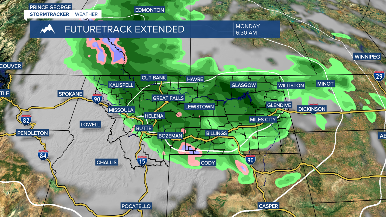
Significant rainfall is now looking very likely this weekend into early next week, with rounds of showers and thunderstorms from Saturday through Tuesday. The heaviest and steadiest rain has shifted a bit to Saturday night into Sunday. This system will wrap significant moisture into Montana, with rainfall totals between 1 and 2 inches common. Some locations in central Montana could exceed 2 inches, especially in favored upslope areas near the mountains.
This photo shows one model’s forecast rainfall through next Wednesday morning. These totals could end up being a bit generous, and the higher amounts shown are probably a little too widespread, but we should have a much better idea tomorrow as some of the shorter-range models begin to better capture this storm.

This system will also bring much cooler air, with snow levels falling to around 6,000 feet by Sunday morning.


