

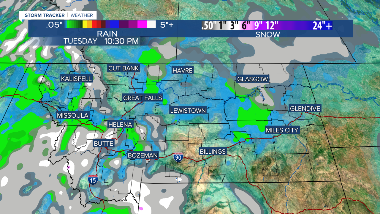


The weather will be quite active this week for Montana with showers of rain and snow, a few thunderstorms, some sun, wind, and cool temperatures. While the weather will be busy this week, it does not look like a major storm will produce a significant accumulation of rain or snow. However, it will be more showery than anything else beginning with tonight. Showers of rain and snow and a few rumbles of thunder will move through Montana. Tuesday will be wet and white up on the Hi-Line, but the rest of the state will have a mix of clouds and sun with scattered showers of rain and higher elevation snow. Some of the showers in the lower elevations could also be a mix. The wind will be strong across the plain. Highs will top out in the 40s to around 50, with 30s in the mountains. Wednesday, mixed rain and snow showers will spread over and near the mountains. Highs will stay in the 40s to near 50. Thursday could be the only dry day for most of Montana this week, but it will be cooler with highs in the 30s and 40s. Friday is back to business as more showers of rain and snow move in through the day into the evening. Highs will hold in the 40s. Saturday is Halloween and most of the day looks pretty nice, just partly cloudy with highs in the 40s and 50s. Some mixed rain and snow showers will start to increase late in the day. Most "Trick or Treating" should be ok with decently comfortable temperatures. You won't need to put the kid's parka on under the costume. Sunday will be more active with mostly cloudy skies and scattered rain and snow showers. Most of this week, any snow accumulation should be confined to the mountains. Don't forget, Saturday night is when we "fall back" as Daylight Saving Time comes to an end.
Have a great day,
Curtis Grevenitz
