


The set-up
High pressure gradually builds in during the early part of the week. Temperatures steadily warm through midweek, temperatures will run 15-20 degrees above normal by Wednesday. A disturbance moves in Thursday afternoon with slightly cooler temperatures and the chance for some showers. Temperatures warm right back up next weekend.
Sunday night: Partly cloudy. Wind switches from WNW to SW at 10-15 MPH. Overnight lows in the mid 20s.
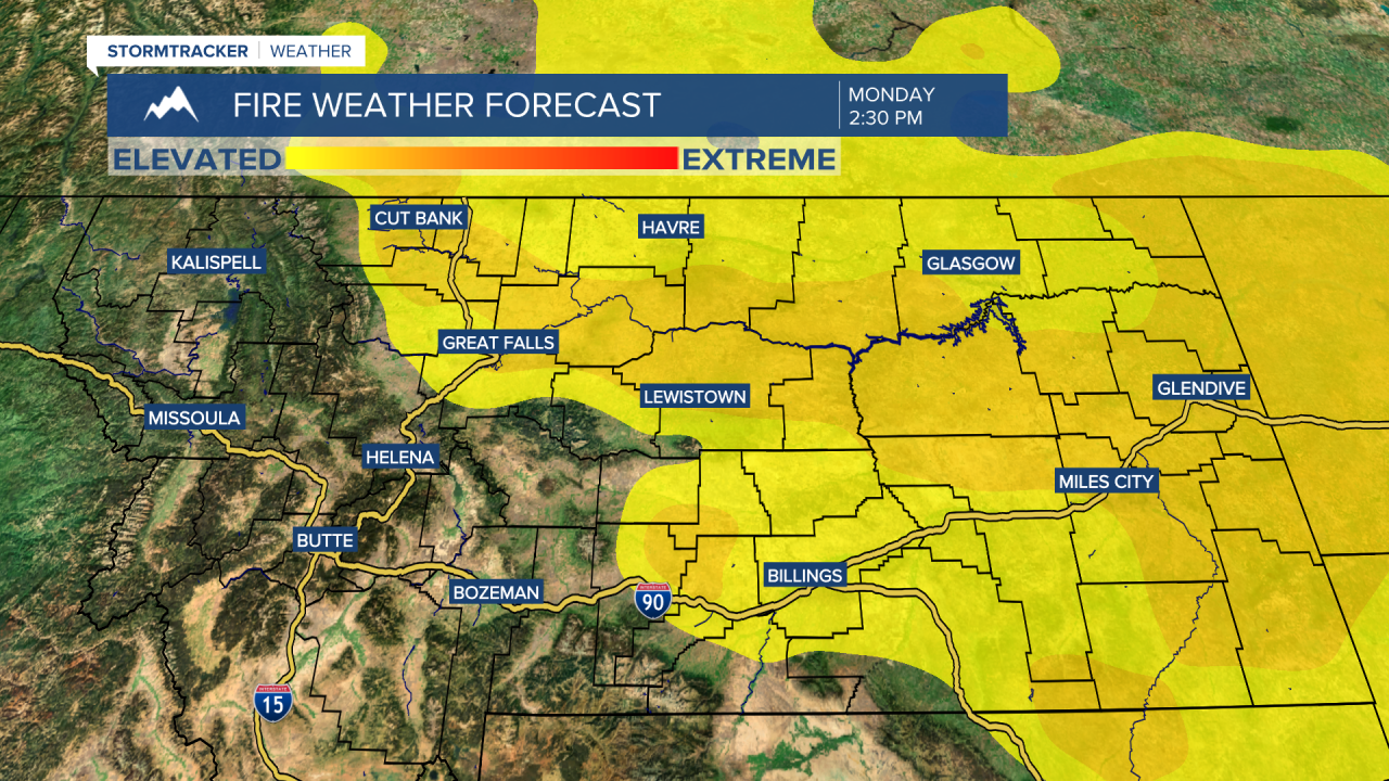
Monday: Mostly sunny to partly cloudy. Wind SW at 10-15 MPH. High temperatures in the upper 40s to around 50. Overnight low temperatures in the upper 20s. Increase fire risk on Monday afternoon.
Tuesday: Sunny to mostly sunny. Wind SW 10-15 MPH. High temperatures in the upper 50s. Overnight lows in the mid 30s.

Wednesday: Sunny and mild. High temperatures in the mid to upper 60s. Overnight lows on either side of 40 degrees.
Thursday: Mostly sunny to start with increasing clouds and scattered showers during the evening. High temperatures in the upper 50s. Overnight low temperatures in the lower 30s.
Friday: A mixture of sunshine and clouds. High temperatures in the mid 50s. Overnight low temperatures in the mid 30s.
Saturday: Partly cloudy and mild. High temperatures in the lower 60s. Overnight lows in the lower 40s.
Sunday: Mild and breezy. High temperatures in the mid 60s.
