

GREAT FALLS — Several strong to severe thunderstorms are moving through parts of central and north-central Montana. As of 4:15 p.m., the strongest storms are moving east from along the Rocky Mountain toward I-15. We have received reports of basball-sized hail in and near the town of Bynum within the last 90 minutes, and quarter-sized hail in Choteau.
If the live radar does not load, click here.
MTN
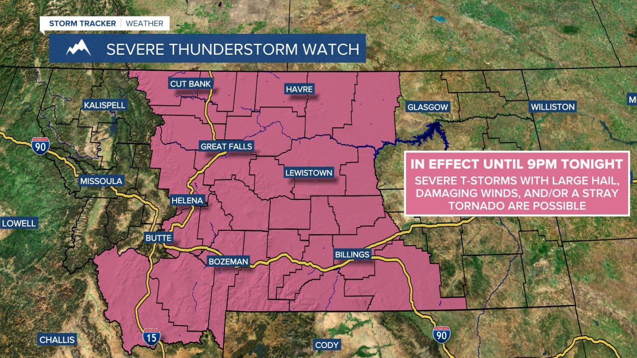
A SEVERE THUNDERSTORM WATCH is in effect until 10pm tonight for many parts of the state. Severe thunderstorms with damaging winds, large hail, and/or an isolated tornado are possible.
A FLOOD WATCH is in effect until 12am/6am Thursday for portions of central and eastern Montana. Heavy rainfall from thunderstorms may cause flash flooding in some areas.
