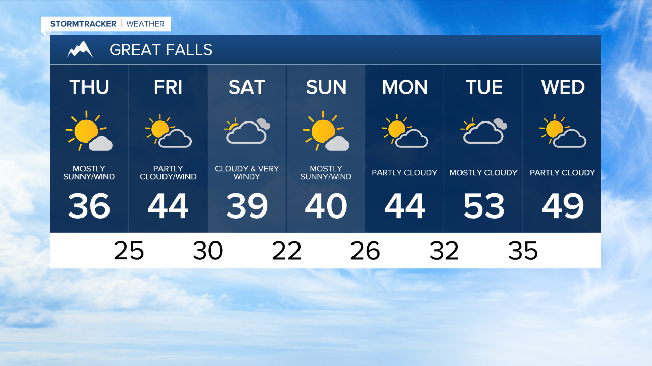
Stronger wind will begin to take over Montana on Thursday.
Sustained wind around 20 mph is likely this afternoon with occasional gusts around 30 mph.
The windy conditions will help to warm temperature back to the mid 30s for most this afternoon.
Still stronger wind is expected as we near the weekend.
Gusts around 40 mph are likely on Friday, allowing for daytime high temperatures to reach the low 40s.
An incoming cold front is on track to pass through the state late Friday night into Saturday morning.
Forecast models are hinting at a few flurries associated with the passage of this system, however the greatest impact appears to be the wind.
Following this front temperatures will trend slightly cooler on Saturday with gusts nearing 50 mph.
Sunday will likely remain windy with highs in the low 40s.
Strong high pressure will begin to build next week.
This system is anticipated to drive temperatures back above average by Tuesday.