Today's damaging wind event could be the worst in many years across Montana. Wind will rapidly increase mid-morning and remain very windy through the evening. Please take time to charge your phone this morning, as power outages are likely. Secure any loose outdoor objects such as lawn furniture, trash cans, and holiday decorations. Avoid power lines and tall trees if you need to be outside.

Today's Forecast:
This is going to be a long-duration event with several (8+) hours of damaging wind gusts of 50-60+ mph. Peak wind gusts could reach 60-85 mph for the entire area and 90-100+ mph for the Rocky Mountain Front and high plains.
These gusts will be capable of knocking down trees and power lines, damaging homes, and overturning vehicles towing trailers.


A powerful cold front sweeps across the state on Wednesday with the high wind, rain, and some heavy snow in the mountains. It's possible there could even be a thunderstorm in the mix!
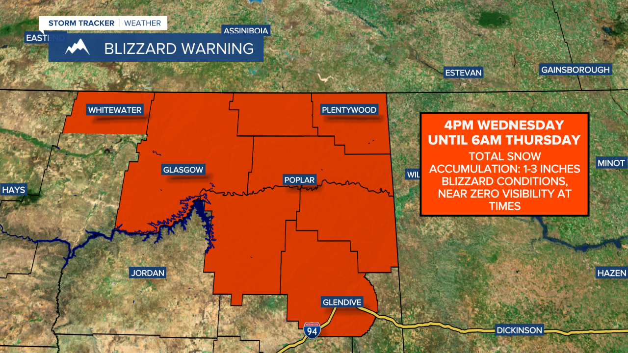
The National Weather Service in Glasgow has issued a BLIZZARD WARNING for northeast Montana starting at 4 p.m. until 6 a.m. Thursday. Whiteout conditions from 70+ mph wind gusts and bursts of snow along the front.


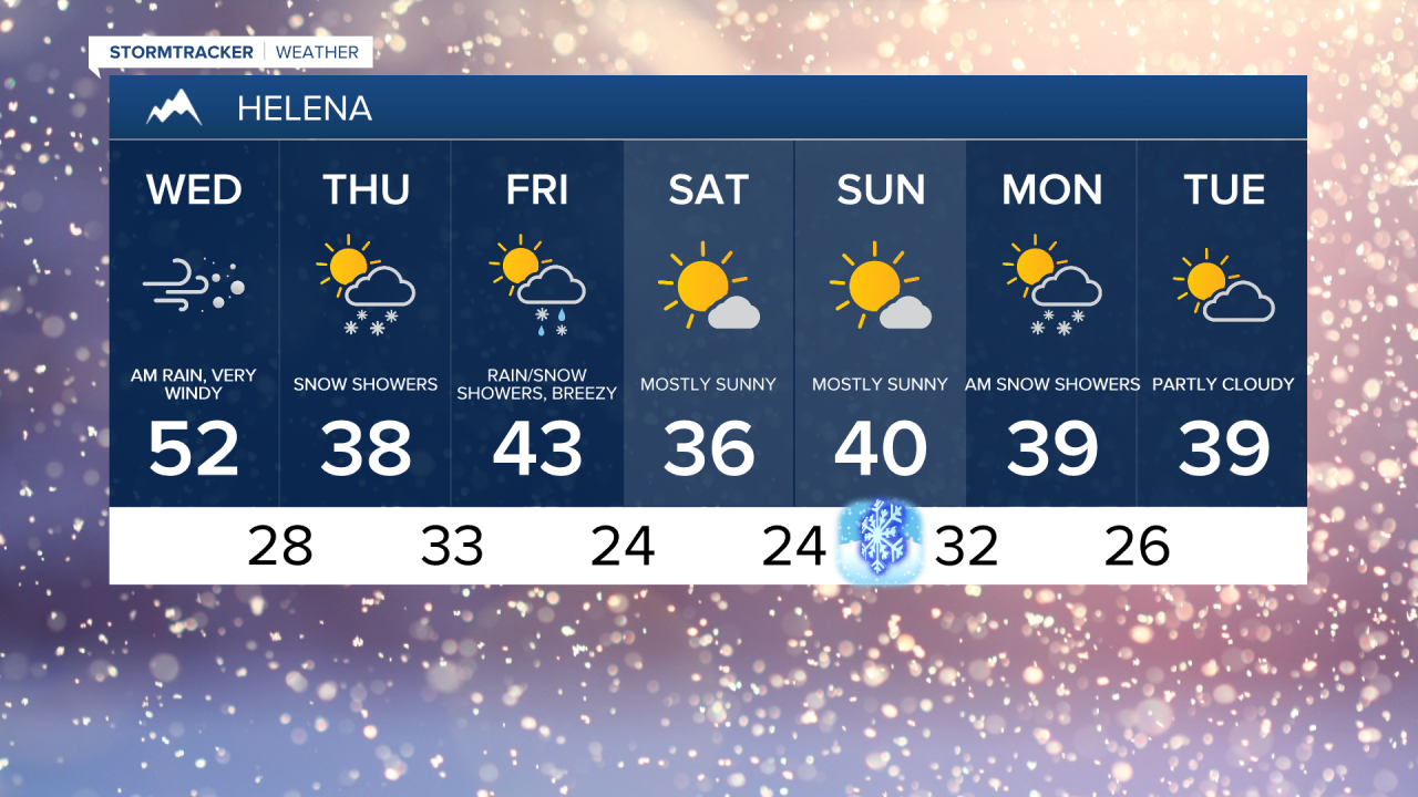
Temperatures have been in the 40s and 50s, but they will fall into the 20s and 30s this evening with a flash freeze in some areas.
Thursday will be a quieter day but still breezy. Highs will range from the 10s in northeast Montana to the 30s and 40s in central Montana. Snow will move into western Montana as another cold front moves in.
Scattered rain and snow showers will be around on Friday, along with another round of gusty winds, although nowhere near as bad as what we'll see today. High temperatures in the upper 30s and 40s throughout central and eastern Montana.
It's quieter this weekend with seasonable temperatures and partly cloudy skies. The Winter Solstice is on Sunday!