

We'll start to feel more like late July today as a big ridge of high pressure to our east spikes our highs in the the mid to upper 80s today and upper 80s and low to mid 90s on Friday. Both days will feature lots of sunshine and dry weather. Make sure your staying hydrated and applying that sunscreen if you're headed out to the first day of the Montana State Fair tomorrow!
Isolated showers and thunderstorms develop in southwest Montana Friday afternoon and will push northeast throughout the evening. Helena will definitely see the chance for an evening thunderstorm, however as the storms push further north, they will weaken and fizzle out before reaching MT-200. This should leave most of central Montana dry throughout our Friday.
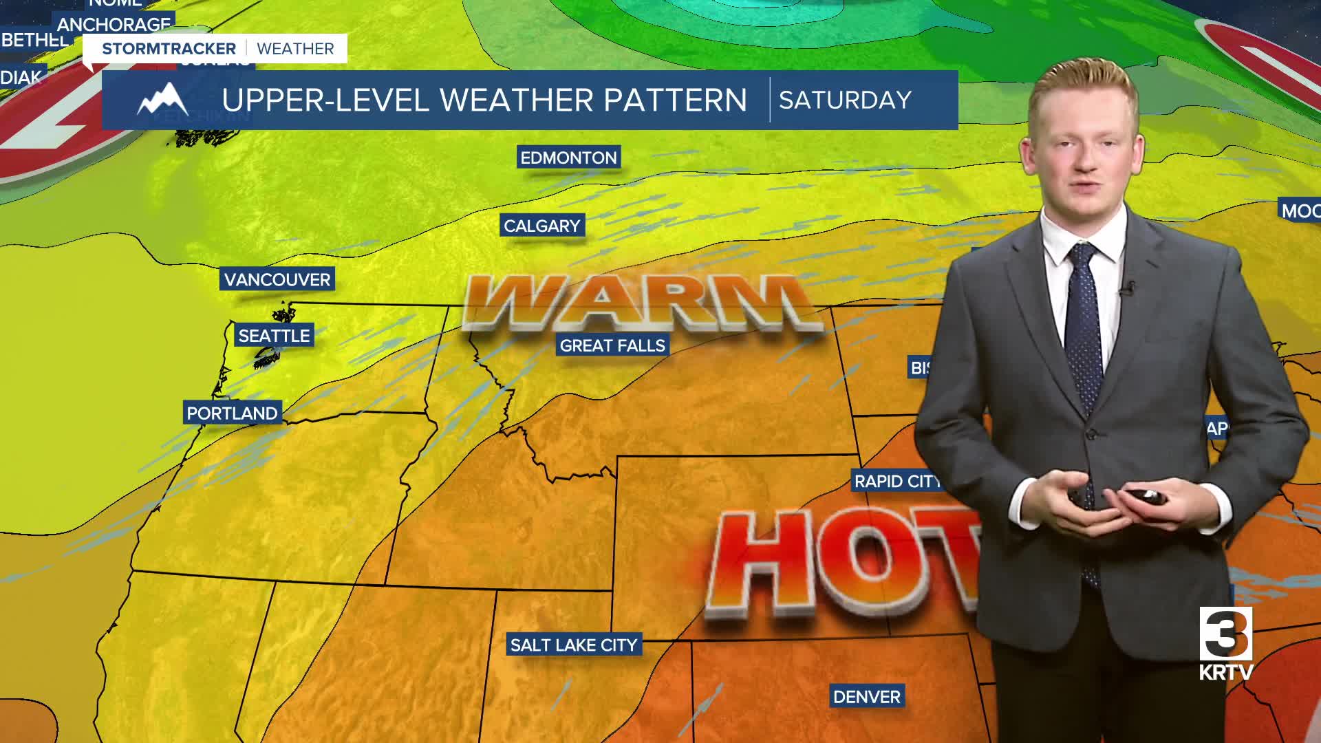
We'll have scattered showers and thunderstorms around both Saturday and Sunday during the afternoon and evening hours. Stay weather aware if you plan to attend the Montana State Fair. Saturday will be the warmer of the two days, with highs in the 80s and lower 90s. Temperatures will cool slightly on Sunday, with highs in the upper 70s to 80s.
The Storm Prediction Center has placed much of central and southern Montana under a Level 1 risk for severe thunderstorms on Saturday. The main concerns are strong and damaging wind gusts, heavy downpours, and lightning.
Storm chances will persist into next week. We’re watching a potential surge in moisture late next Friday into Saturday, but it’s still too far out for details. We’ll keep you posted, as always!
