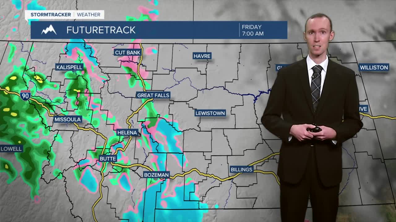


We are going to have partly to mostly cloudy skies tonight with some scattered snow, sleet, freezing rain, and rain showers around, mainly after midnight and especially in western Montana, as a warm front begins to pass through our area. Light snow and ice accumulations are possible tonight, especially in western Montana, where there is a Winter Weather Advisory in effect from 11pm tonight until 10am tomorrow morning. It is also going to be chilly tonight in central Montana as lows are going to be in the teens and 20s, and it is going to be cold tonight in eastern Montana as lows are going to be in the teens and single digits.

For tomorrow, we are going to have overcast skies with some scattered rain, freezing rain, sleet, and snow showers around as this warm front continues to pass through our area. Light snow and ice accumulations are possible tomorrow in locations that do see some of this snow, sleet, and/or freezing rain. It is also going to be warmer tomorrow than it was today in central Montana as highs are going to be in the upper 40s and low to mid 50s. In eastern Montana, it is going to be chilly again tomorrow as highs are going to be in the upper 30s and low 40s. Breezy conditions are also expected tomorrow behind the warm front as sustained wind speeds are going to be between 10 and 25 mph.
Windy conditions are going to return to our area this weekend as sustained wind speeds on both Saturday and Sunday are going to be between 15 and 30 mph, and wind gusts up to 45+ mph are going to be possible at times. Even though it is going to be windy this weekend, at least we are going to have nice temperatures as highs are going to be in the upper 40s and low to mid 50s on Saturday, and the mid to upper 50s on Sunday.
There are also going to be some isolated valley rain and mountain rain/snow showers around on Saturday, especially during the morning, as a cold front passes through our area. There are then going to be some scattered valley rain and mountain rain/snow showers around on Sunday, especially during the morning, as a warm front passes through our area. Some snow showers are also possible in the valleys Sunday morning. We are also going to have partly to mostly cloudy skies on Saturday and overcast skies on Sunday.
The warmest day of the next week is going to be on Monday as highs are going to be in the 60s. A cold front is then going to cool our temperatures down a lot for the rest of next week as highs are going to be in the 40s on Tuesday, and the mid to upper 30s and low 40s on Wednesday and Thursday. It is also going to be very windy on Monday as sustained wind speeds are going to be between 20 and 40 mph, and wind gusts up to 50+ mph are going to be possible at times. It is then going to be windy on Tuesday as sustained wind speeds are going to be between 15 and 30 mph, and wind gusts up to 40+ mph are going to be possible at times. Breezy conditions are then expected on Wednesday as sustained wind speeds are going to be between 10 and 20 mph. There are also going to be scattered rain and snow showers around Monday night and Tuesday as this cold front passes through our area. We are also going to have mostly cloudy skies on Monday; partly cloudy skies on Tuesday; and mostly sunny skies on Wednesday.


