

An AIR QUALITY ALERT is in effect until at least 10am Wednesday for western, southwestern, and portions of southern Montana. The air quality is generally going to be in the unhealthy and/or unhealthy for sensitive groups categories.

A LAKE WIND ADVISORY is in effect for Fort Peck Lake until 9am Wednesday. Sustained wind speeds are going to be between 20 and 30 mph, and wind gusts up to 40 mph are going to be possible at times.

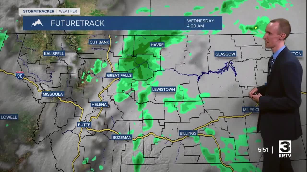
There are going to be scattered light to moderate rain showers around this evening and tonight. We are also going to have mostly cloudy/hazy/smoky skies tonight. It is also going to be cool tonight as lows are going to be in the upper 40s and low to mid 50s in most locations.
For tomorrow, there are going to be scattered light to moderate rain showers around during the morning in locations east of I-15, and there are going to be a few showers and thunderstorms around during the afternoon and evening, generally in locations along and just east of the Continental Divide. We are also going to have partly cloudy/hazy/smoky skies tomorrow. It is also going to be mild tomorrow as highs are going to be in the 70s in most locations.
On Thursday, we are going to have increasing clouds with some scattered showers and thunderstorms around during the afternoon and evening. We are then going to have decreasing PM clouds on Friday with some scattered showers around, generally in locations east of I-15. It is also going to continue to be hazy/smoky on Thursday and potentially Friday as well. We are also going to have seasonable temperatures on these two days as highs are going to be in the 70s and upper 60s in most locations.
For this weekend, we are going to have partly to mostly cloudy skies with some scattered showers and isolated thunderstorms around, generally during the PM hours and especially in locations east of I-15. It is also going to be a little cooler this weekend than it is going to be over the next few days as highs are going to be in the mid to upper 60s and low to mid 70s.
There are then going to be some more scattered showers around early next week as a more potent storm system passes through our area. Some mountain snow is also possible early next week. We are also going to have partly cloudy skies on Monday and mostly cloudy skies on Tuesday.
The temperatures are going to cool down a lot early next week as highs are going to be in the 60s on Monday and the mid to upper 50s and low 60s on Tuesday. It is also going to be breezy on Monday and Tuesday as sustained wind speeds are going to be between 10 and 25 mph, and wind gusts up to 40 mph are going to be possible at times. On Monday, the wind is going to come out of the WSW, while on Tuesday, the wind is going to come out of the NW.


