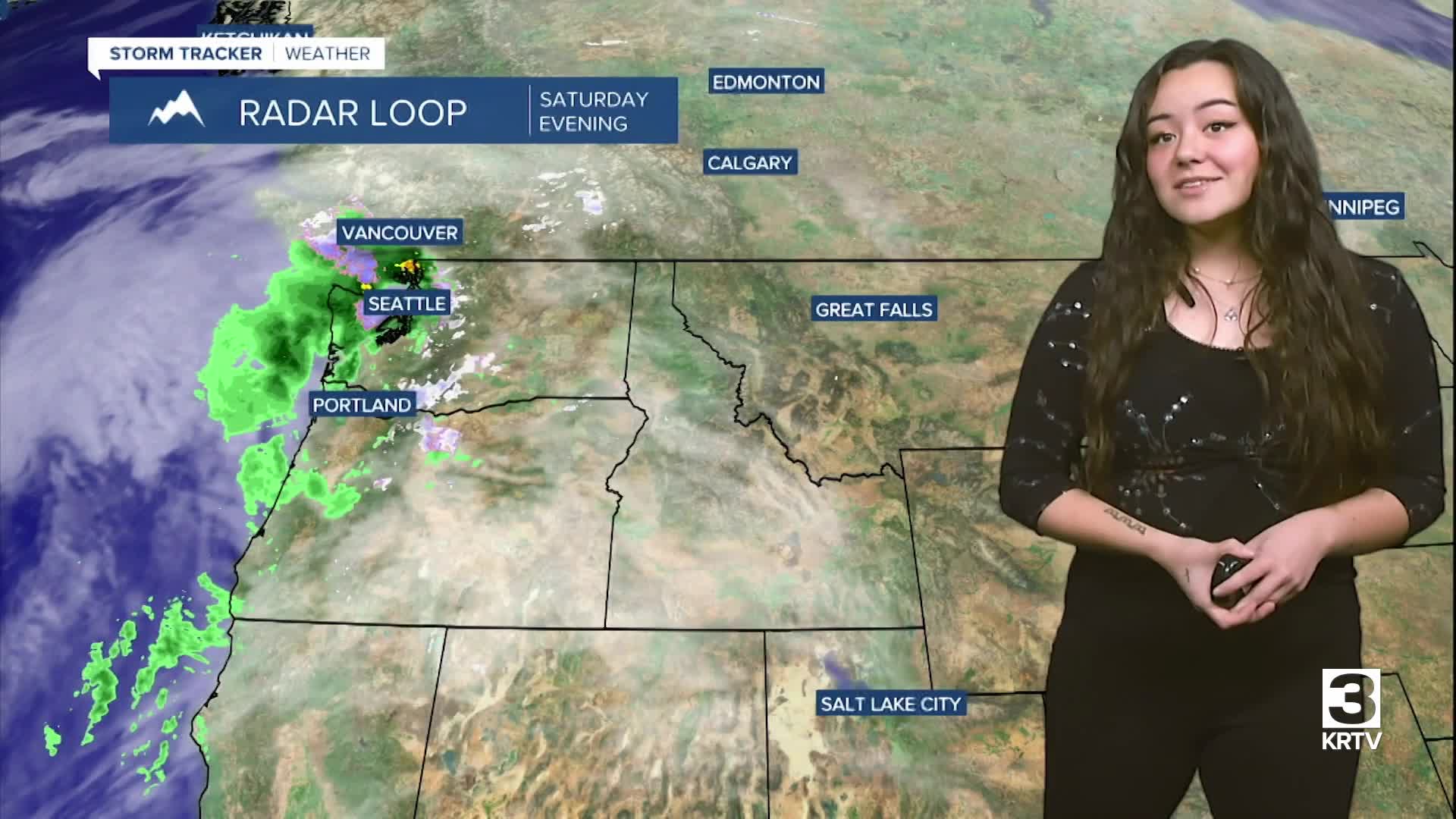


WEATHER DISCUSSION: Ridging aloft builds in tonight while warm air continues to thin the Arctic air mass. Expect another might of cold/bitterly cold temperatures in the single digits and below zero. Overnight wind chills could be as low as -20 degrees, mainly in northern locations. There will be patchy fog over the plains tonight with increasing clouds. Winds are expected on the lighter side tonight, 5 to 10 mph with gusts up to 20 mph.

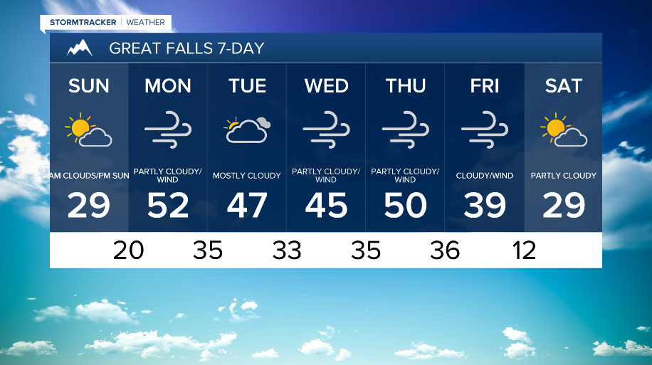
Sunday, expect more mostly dry conditions with high temperatures returning to the 20s and 30s for the region. As westerly winds strengthen Sunday night, bringing the first round of windy conditions along the Rocky Mountain Front and the plains, temperatures will be pushed back to around 10 to 20 degrees above average.

While dry conditions persist for most areas on Monday, moisture streaming over the ridge of high pressure will result in periods of light snow developing over immediate eastern slopes of the Rocky Mountain Front. This activity will pick up in intensity and coverage Tuesday into Wednesday as the first of two larger scale shortwaves move through the Northern Rockies. Snowfall with this system will be most widespread and heaviest along the Continental Divide with lighter end snows over the mountain ranges to the east.
There will also be scattered rain and snow shower potential for lower elevations, but precipitation amounts and snow accumulations look to be insignificant. Surface winds will also increase and become more widespread with 60 mph + wind gusts along the Rocky Mountain Front and the plains through next week, too.
Through the latter half of the week, a colder trough brushing North Central Montana could bring a wave of light snow and below average temperatures next weekend. Otherwise, expect widespread strong winds and mostly mountain snow on Thursday.