

WEATHER DISCUSSION: As the arctic air mass began sliding out of the region overnight last night, warmer air has begun to work back into the area from the southwest. For areas along the I-15 corridor, temperatures peaked in the teens and 20s, while Northeastern locations were a bit slower to warm up.
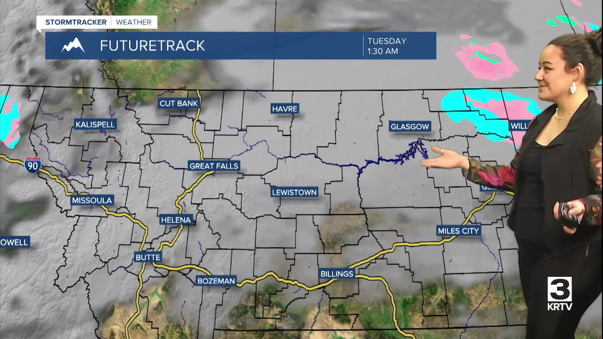
Tonight, expect partly cloudy skies with the coldest temperatures in the Northeast, where lows will reach below-zero once again. Areas along the Hi-line will see low temperatures in the single digits. Otherwise, low temperatures will stay in the teens and 20s for most locations in the region. Scattered areas will see lighter winds tonight, around 5 to 10 mph. Areas along the Rocky Mountain Front through Great Falls could see wind gusts up to 30/40 mph.

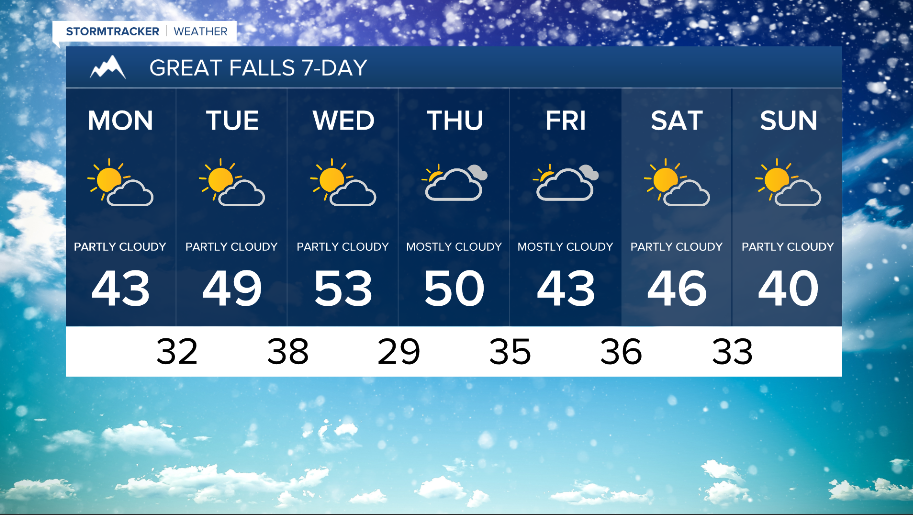
Once this cold air fully exits the area, the remainder of the upcoming week will be generally mild with above average temperatures and some breezy winds along the Rocky Mountain Front Monday and Tuesday. Expect high temperatures Monday slowly warming back into the 30s and 40s. 20s in Northeastern locations.

Upper-level ridging will mainly dominate the weather pattern through the end of the week, keeping us warm and dry through at least Friday. Looking towards the weekend, there are some hints of upper-level troughing which would bring cooler temperatures and possibly some moisture back into the area.