WEATHER DISCUSSION: Fast and moist flow from the Pacific continues across the Northern Rockies and MT, maintaining a very active weather pattern for the region through much of the week ahead.
Today, increasing cloud cover and varying temperatures were seen across the region. High temperatures ranged in the teens, 20s, 30s, and 40s with scattered snow showers and winds on the lighter side. Tonight, expect mostly cloudy skies with low temperatures in the single digits up to the 30s with increasing winds.
The decreasing, mainly light snow across eastern portions of North Central MT may redevelop this evening, mainly along and east of a Havre to Lewistown line as another wave of moisture overruns the deeper cold airmass situated there.
Mountain driven snow showers continue to affect the mountains through this evening with areas along the continental divide north of Lincoln and the Madison/Gallatin ranges most likely to see additional accumulations of 2 to 4 inches while most other mountain areas can expect around 1 inch or less from additional snow showers through this evening.
Temperatures will be tricky tonight across the North Central MT plains as the low level cold airmass that moved in this morning retreats back to the northeast overnight. Minimum temps are likely to occur early this evening before rising overnight for areas adjacent to the Rocky Mtn Front and east across Great Falls to Lewistown.
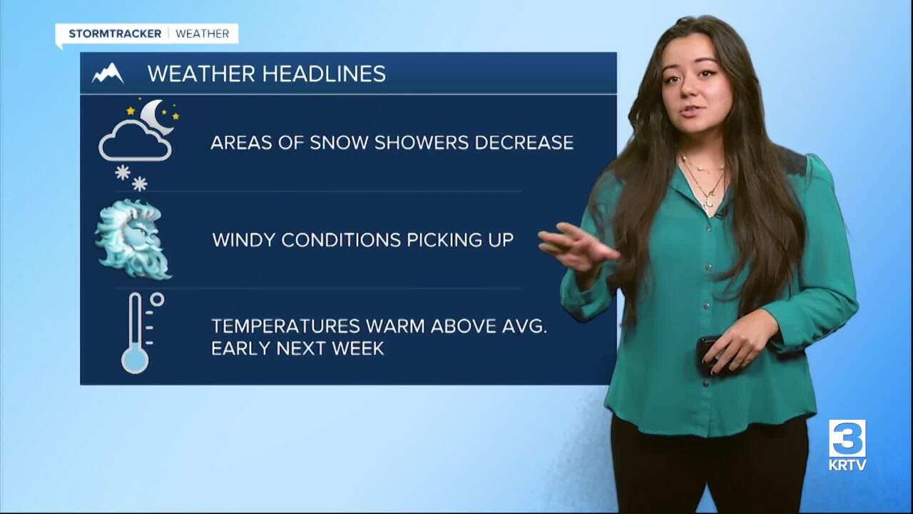
Mainly dry conditions with average/slightly above average temperatures are expected across the entire region on Sunday. High temperatures return to the 30s and 40s for some locations while Northeastern areas see high temperatures in the teens and 20s.
Precipitation redevelops along the continental divide Sunday night and will likely intensify Monday night. Mild and increasingly windy conditions are expected Sunday night through Tuesday as upper-ridging attempts to build in. Winds will likely peak early Tuesday morning.
Temperatures will warm to upper 40s to around 50 for most lower elevation locations Monday and Tuesday with windier locations seeing overnight temps remaining above freezing. Snow levels initially around 5000ft look to rise to around 6500 ft Monday and Monday night before lowering again on Tuesday.