


A WINTER STORM WARNING is in effect for the East Glacier area from 12am Wednesday until 12pm Thursday and for the Highwood and Little Belt mountains from 6am Wednesday until 6pm Thursday.

A WINTER WEATHER ADVISORY is in effect for the northern High Plains and the southern Rocky Mountain Front from 12am Wednesday until 12pm Thursday; for the Big Belt, Bridger, Castle, Judith, and Snowy mountains from 12pm Wednesday until 6pm Thursday; and for the West Glacier area from 4pm Wednesday until 9am Thursday.

A HIGH WIND WARNING is in effect for portions of north-central Montana until 7pm Tuesday.

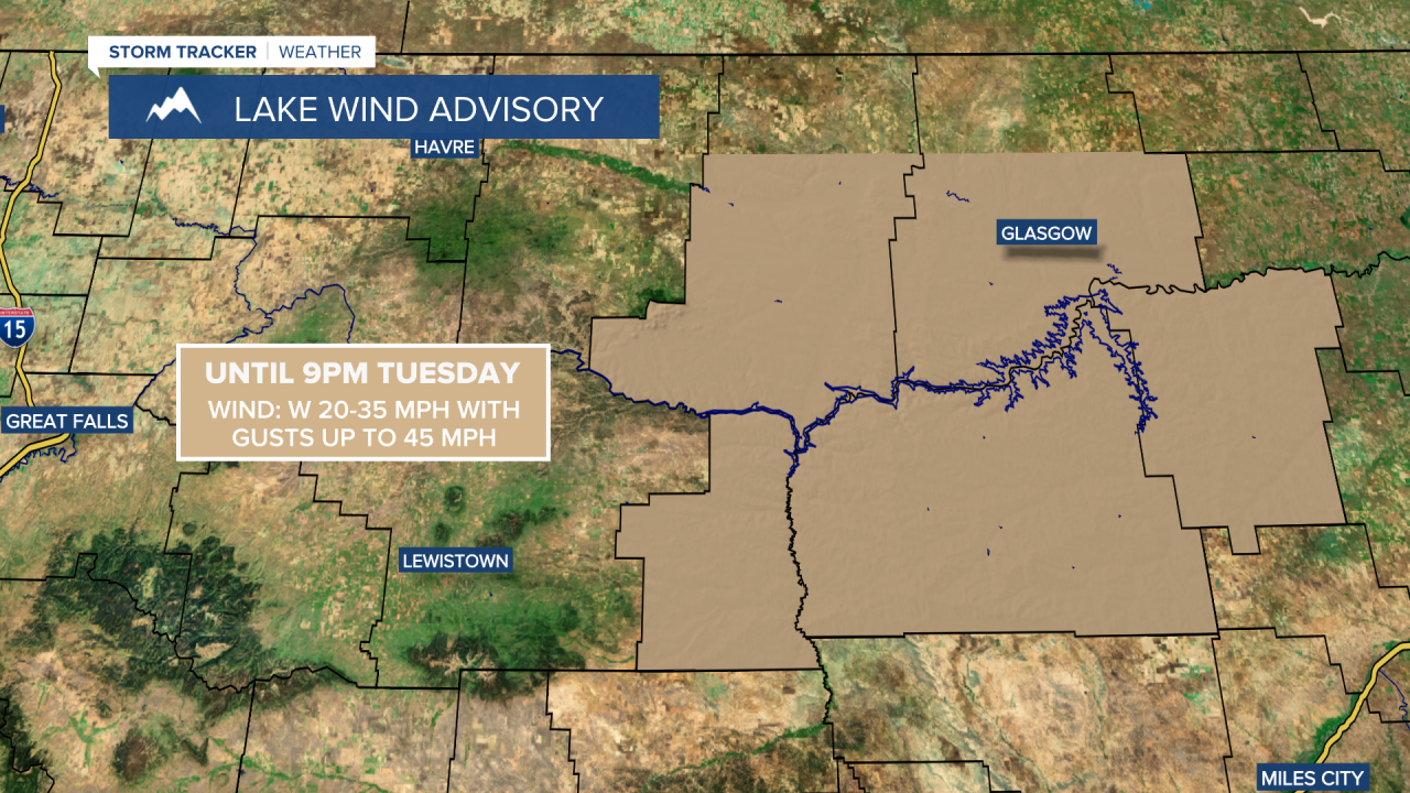
A LAKE WIND ADVISORY is in effect for Fort Peck Lake until 9pm Tuesday.
A RED FLAG WARNING is in effect for portions of eastern Montana until 8pm Tuesday.

There are going to be some scattered rain, graupel (soft hail or snow pellets; looks like Dippin’ Dots ice cream; it forms when supercooled water droplets freeze onto a snowflake), and snow showers around this evening and tonight, generally before midnight and especially in the mountains and along the Hi-Line. We are also going to have diminishing wind this evening, with just a little breeze around tonight. It is also going to be chilly tonight as lows are going to be in the mid to upper 20s and low to mid 30s in most locations.
For tomorrow, we are going to have increasing clouds with more rain, graupel, and snow showers around, especially during the afternoon and evening, as a storm system begins to impact our area. There are then going to be areas of rain and snow around tomorrow night; rain/snow is likely Thursday morning; and rain, graupel, and snow showers are likely Thursday afternoon and evening as this storm system continues to impact our area. For lower elevation locations that are not in Glacier County and are not along the Rocky Mountain Front, the best chance to see snow and possible accumulation will be tomorrow night into Thursday morning. We are also going to have mostly cloudy to overcast skies tomorrow night and Thursday.
Between Tuesday evening and Thursday evening, many locations in north-central and central Montana will receive between .1” and .5” of precipitation, with this precipitation coming in the form of both rain and snow. Some locations, generally in the mountains, may receive up to .75” or potentially up to 1” of precipitation over the next few days.

In the mountains, 2-12” of snow accumulation is possible through Thursday evening, with up to 18” of snow accumulation possible in the higher terrain in Glacier National Park. In the lower elevations, most locations will receive 0-2” of snow (with accumulations mainly confined to grassy surfaces), but up to 6” of snow accumulation is possible, mainly in lower elevation locations that are along northern portions of the Rocky Mountain Front, near the Canadian border in Glacier County, or are near some of the mountains in central Montana.

It is also going to be chilly/cool tomorrow as highs are going to be in the mid to upper 40s and low to mid 50s in most locations, and it is going to be chilly on Thursday as highs are going to be in the 40s and upper 30s in most locations. There is also going to be a good breeze around on these two days as sustained wind speeds are going to be between 10 and 25 mph, and wind gusts up to 40 mph are possible.
On Friday, we are going to have partly to mostly cloudy skies with scattered rain, graupel, and snow showers around, generally in locations east of I-15 and especially during the morning, as a storm system leaves our area. It is also going to be warmer on Friday than it is going to be on Thursday as highs are going to be in the mid to upper 40s and low to mid 50s in most locations. There is also going to be a bit of a breeze around on Friday in some areas as sustained wind speeds are going to be between 10 and 20 mph.
Saturday is then going to be the nicest day of the next week as we are going to have partly cloudy skies, mainly dry conditions, just a little breeze (sustained wind speeds between 5 and 20 mph), and warmer temperatures as highs are going to be in the upper 50s and low to mid 60s.
There are then going to be scattered rain and mountain rain/snow showers around on Sunday and Monday, generally during the PM hours, as a couple disturbances pass through our area. Some more scattered rain and mountain snow/rain showers are then possible on Tuesday as another disturbance passes through our area. A little snow may also mix in with this rain in some lower elevation locations Tuesday morning. We are also going to have mostly cloudy skies on these three days.
It is also going to be a bit breezy on Sunday and Tuesday as sustained wind speeds are going to be between 10 and 20 mph, and it is going to be breezy on Monday as sustained wind speeds are going to be between 10 and 25 mph. The temperatures are also going to cool down some over these three days as highs are going to be in the 60s and low to mid 70s on Sunday; the mid to upper 50s and low to mid 60s on Monday; and the 50s and low 60s on Tuesday.


