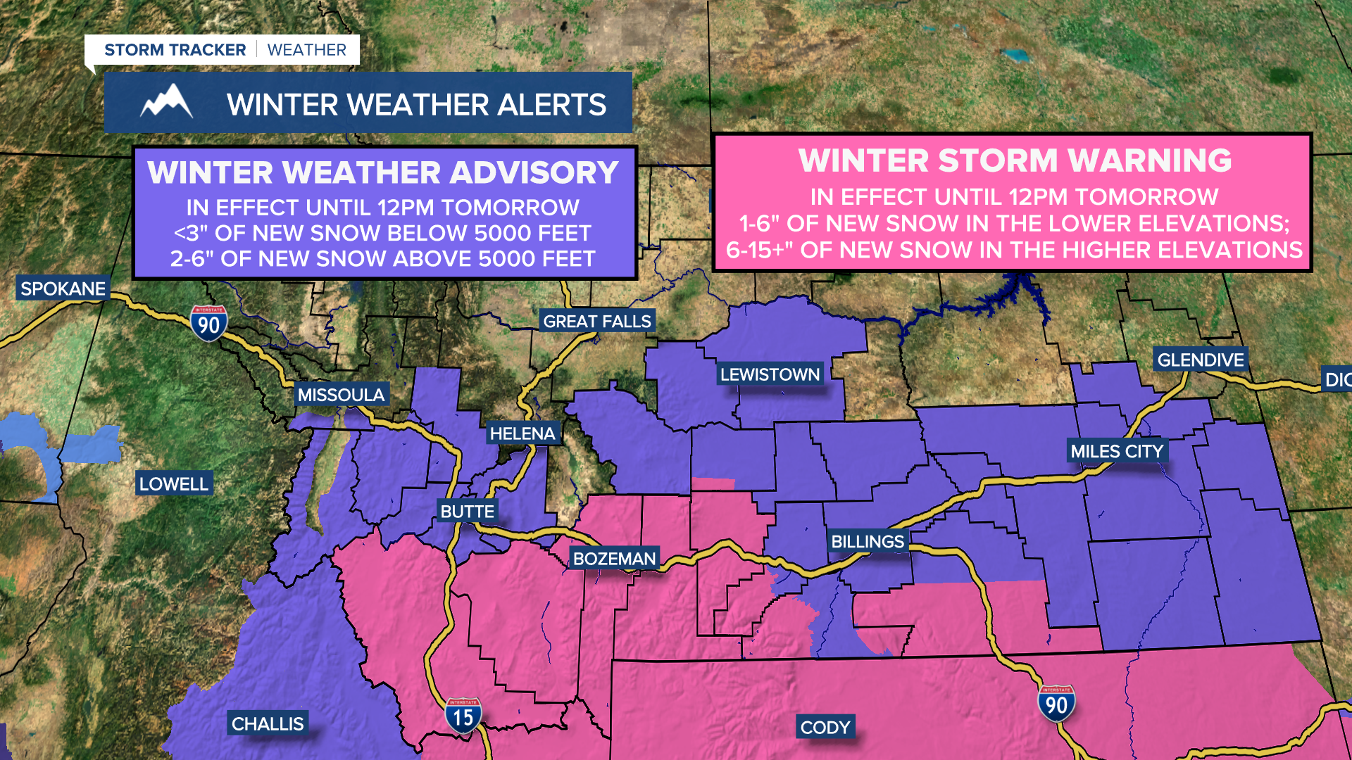


A Winter Weather Advisory is in effect for Fergus County, Jefferson County, Judith Basin County, and Meagher County until 12pm tomorrow. Up to 3 inches of new snow accumulation is expected below 5000 feet, and 2 to 6 inches of new snow accumulation is expected above 5000 feet.

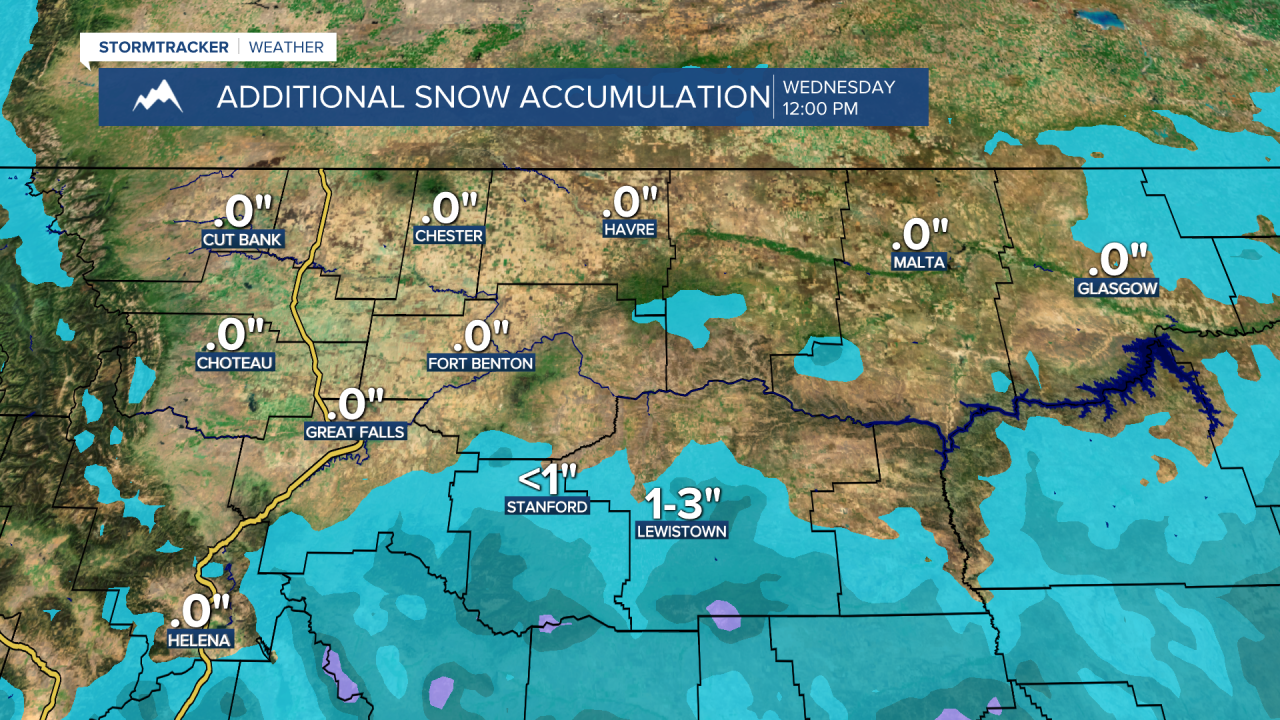
There are going to continue to be scattered snow and rain showers around tonight and tomorrow, mainly in locations south and east of Great Falls. In locations north and west of Great Falls, there are going to be some isolated snow and rain showers around tonight and tomorrow. Most of the precipitation that does fall tonight and tomorrow is going to be in the form of snow, but there is going to be some rain around, specifically in the northeastern part of the state. As we head into tomorrow night and Wednesday, we are going to have partly cloudy skies with some isolated snow and rain showers around in west-central and central Montana, and cloudy skies with some scattered snow and rain showers around in east-central and eastern Montana as a storm system departs our area to the east, and as another storm system begins to approach our area from the west.
Between Monday evening and Wednesday evening, little to no snow accumulation is expected for many locations in north-central Montana. However, if you are in Broadwater County, Fergus County, Jefferson County, Judith Basin County, Lewis and Clark County, or Meagher County, up to 3 inches of new snow accumulation is expected below 5000 feet, and 2 to 6 inches of new snow accumulation is expected above 5000 feet between Monday evening and Wednesday evening.
It is also going to be cold tonight and tomorrow night as lows are going to be in the 20s in most of central Montana, with a few teens in northwestern Montana and a few 30s in northeastern Montana. For tomorrow, it is going to be another chilly day as highs are only going to be in the 40s in most locations. It is then going to be a little bit warmer on Wednesday as highs are going to be in the mid to upper 40s and low 50s in most locations.
On Thursday, we are going to have partly cloudy skies with a slight chance of rain and snow showers as a storm system passes through our area. It is also going to be cool and breezy on Thursday as highs are going to be in the upper 40s and low 50s, and sustained wind speeds are going to be between 10 and 20 mph.
We are then going to have partly cloudy skies and mostly dry conditions on Friday, and mostly sunny skies and dry conditions on Saturday as high pressure is generally going to be in control of our weather. The temperatures are also going to warm up some over these two days as highs on Friday are going to be in the mid to upper 50s in most locations, and highs on Saturday are going to be in the low to mid 60s in most locations. It is also going to be windy on Friday as sustained wind speeds are going to be between 15 and 30 mph, and it is going to be breezy on Saturday as sustained wind speeds are going to be between 10 and 20 mph.
On Sunday, we are going to have partly to mostly cloudy skies with a slight chance of valley rain and mountain rain/snow showers, generally during the afternoon and evening, as a cold front begins to approach our area. We are then going to have partly cloudy to mostly sunny skies and mostly dry conditions on Monday. The temperatures are also going to cool down some between Sunday and Monday as highs on Sunday are going to be in the mid to upper 60s in most locations, and highs on Monday are going to be in the mid to upper 50s in most locations. Windy conditions are also expected on Sunday as sustained wind speeds are going to be between 15 and 30 mph.


