


A WINTER WEATHER ADVISORY is in effect for some of the mountains in southwestern Montana until 8am Saturday. Up to 3 inches of new snow accumulation is possible.

We are going to have partly cloudy skies tonight with some isolated snow and rain showers around, especially in the mountains. It is also going to be breezy in portions of central and north-central Montana tonight, especially before midnight, as sustained wind speeds are going to be between 10 and 25 mph. Also, lows tonight are going to be in the teens and 20s, with the coldest temperatures along the Hi-Line.
For tomorrow, we are going to have partly cloudy skies with some isolated snow and rain showers around, generally in the mountains. It is also going to be cool tomorrow as highs are going to be in the 30s and low 40s in most locations (some mid to upper 20s along the Hi-Line). The wind is also not going to be as strong tomorrow as it was today, but it is still going to be breezy in portions of central and north-central Montana as sustained wind speeds are going to be between 10 and 25 mph.
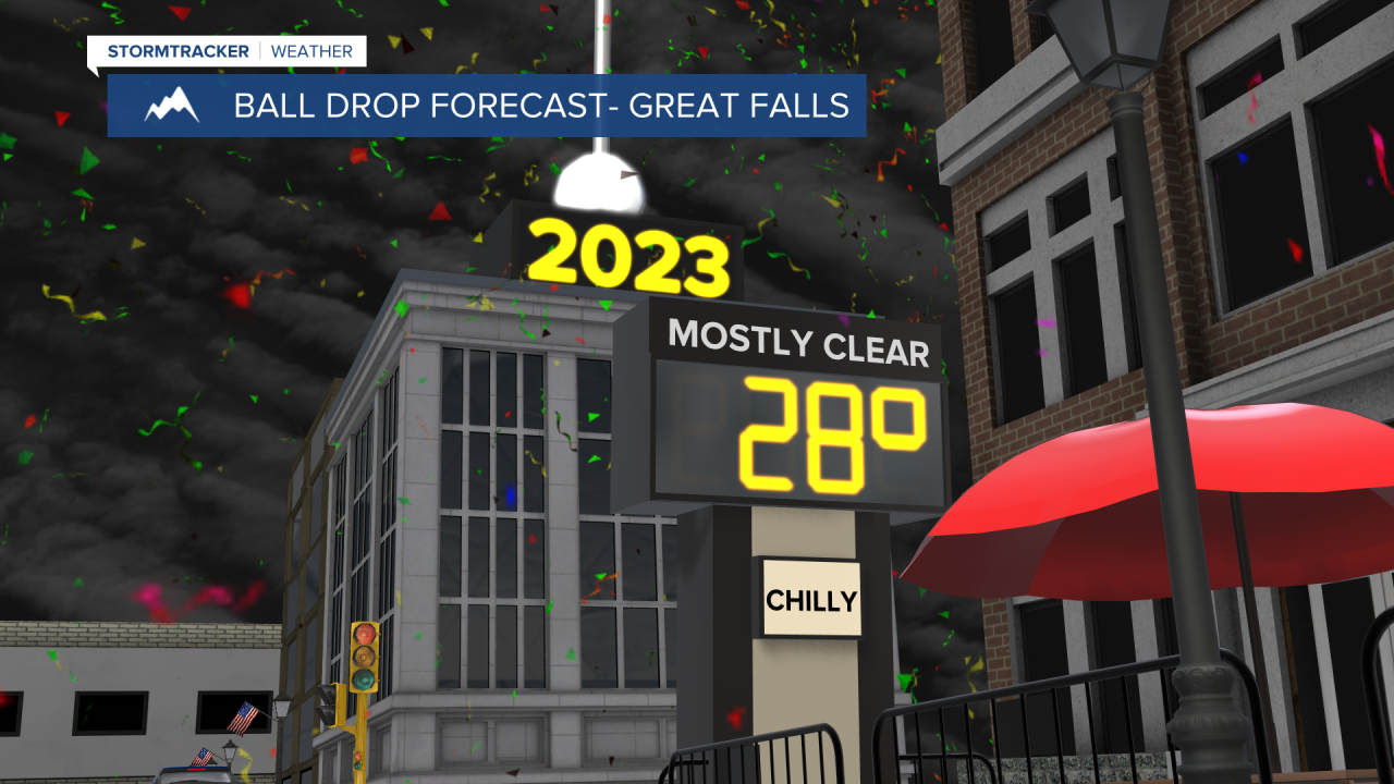
Pleasant weather is then expected tomorrow night as we ring in the new year as we are going to have partly cloudy skies, mostly dry conditions, and just a little bit of a breeze around. Also, temperatures at midnight tomorrow night are going to be in the teens and 20s, with the coldest temperatures along the Hi-Line, so make sure you bundle up if you are going to be celebrating the new year outdoors!
On Sunday, we are going to have partly cloudy to mostly sunny skies and dry conditions. It is also going to be a little bit colder on Sunday than it is going to be tomorrow as highs are going to be in the mid to upper 20s and low to mid 30s in most locations. There is also only going to be a little bit of a breeze around on Sunday, mainly along the Rocky Mountain Front.
Mostly to mainly sunny skies and dry conditions are then expected on Monday, Tuesday, and Wednesday as high pressure is going to be in control of our weather. It is also going to be chilly on these three days as highs are going to be in the mid to upper 20s and low to mid 30s. There is also going to be a bit of a breeze around on Wednesday as sustained wind speeds are going to be between 10 and 20 mph.
There are then going to be a few isolated snow showers around the Helena area Thursday afternoon/evening as a disturbance begins to approach our area. We are then going to have a chance to see some snow and rain showers Thursday night and Friday as this disturbance passes through our area. The temperatures are also going to warm up a little bit over these two days with highs back in the 30s in a lot of locations. It is also going to be a bit breezy on these two days as sustained wind speeds are going to be between 10 and 20 mph.


