


An upper-level trough is going to remain fairly stationary over the western U.S. for the rest of this week and this weekend. The location of this trough is going to provide Montana with an unstable southerly/southwesterly flow aloft. Over the next several days, multiple disturbances are going to travel along this unstable flow, with each disturbance bringing a round of scattered showers and storms to our area. As we head into next week, the trough will start to weaken a little bit, allowing for more sunshine and drier conditions, although there will continue to be some precipitation around.

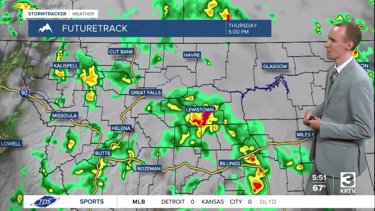
There are going to be scattered showers and thunderstorms around through tomorrow morning. There are then going to be widespread showers and thunderstorms around tomorrow afternoon/evening. Heavy rainfall, gusty winds, frequent lightning, and/or small to medium-sized hail are going to be the main hazards with the thunderstorms that develop. A few of the thunderstorms that develop this evening and tomorrow afternoon/evening may also be severe with damaging winds (58+ mph) and/or large hail (1+” in diameter). We are also going to have mostly cloudy to overcast skies tonight and tomorrow.

For tonight, lows are going to be in the 50s and mid to upper 40s. For tomorrow, highs are going to range from the mid 50s to the upper 70s, with the warmest temperatures in eastern Montana. It is also going to be a bit breezy in spots tomorrow as wind gusts over 30 mph are going to be possible at times.
There are then going to be scattered showers and thunderstorms around on Friday, especially during the PM hours; widespread showers and thunderstorms around on Saturday; and some scattered showers and thunderstorms around on Sunday, generally during the PM hours and generally in locations east of I-15, as multiple disturbances pass through our area. We are also going to have mostly cloudy to overcast skies on Friday and Saturday and partly cloudy skies on Sunday. For Friday and Saturday, highs are going to be in the mid to upper 60s and low to mid 70s in most locations. It is then going to be a little warmer on Sunday as highs are going to be in the 70s.
On Memorial Day, we are going to have partly cloudy to mostly sunny skies with a chance of showers and thunderstorms, generally during the afternoon/evening, as another disturbance impacts our area. It is also going to be mild on Memorial Day as highs are going to be in the 70s and low 80s.
For Tuesday and Wednesday, we are going to have mostly sunny skies with some isolated showers and thunderstorms around, generally during the PM hours. It is also going to be warm on these two days as highs are going to be in the mid to upper 70s and low to mid 80s in most locations.


