


After a quiet day of weather today, active weather will return for the rest of the week as an upper-level trough slowly passes through our area. Tonight, there are going to be some scattered showers and thunderstorms around. We are also going to have partly to mostly cloudy skies tonight and it will continue to be a little hazy due to smoke from wildfires burning in Idaho. Lows tonight will be in the 50s and low to mid 60s in most spots, and it will be a bit breezy along the Rocky Mountain Front.
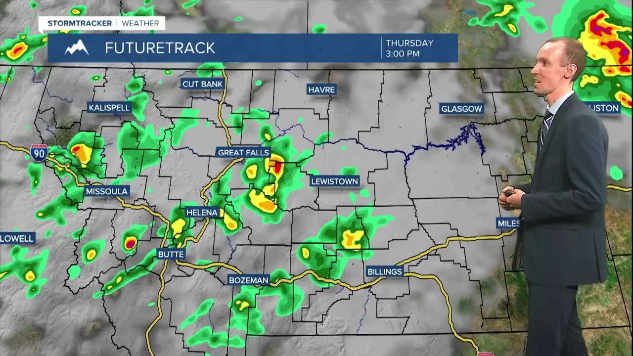
For tomorrow, there are going to be some scattered showers and thunderstorms around during the morning, generally in eastern portions of north-central Montana (east of a line from Havre to Lewistown), and there are going to be scattered showers and thunderstorms around during the afternoon and evening as a cold front passes through our area. Some of the thunderstorms that we see tomorrow may be severe with damaging winds (58+ mph) and/or large hail (1+” in diameter), so please keep an eye to the sky if you are going to be outdoors at all! An isolated tornado is also possible tomorrow, mainly in the eastern half of the state.

Scattered showers and thunderstorms will continue tomorrow night and Friday in north-central Montana. Around Helena, there are going to be scattered showers and thunderstorms around tomorrow night, generally before midnight, and there are going to be some scattered showers and thunderstorms around on Friday. We are also going to have partly to mostly cloudy skies tomorrow night and Friday, and it is going to be cold enough tomorrow night for a little bit of snow to fall on some of the mountain peaks in central and southern Montana!

The temperatures will cool down some for the end of the work week as highs tomorrow are going to range from the mid 60s along the Rocky Mountain Front to the low 80s in northeastern Montana and highs on Friday are going to be in the mid to upper 60s and low 70s. Tomorrow will be another breezy day along the Rocky Mountain Front as sustained wind speeds are going to be between 10 and 25 mph. Widespread breezy conditions are then expected on Friday as sustained wind speeds are going to be between 10 and 25 mph, and wind gusts up to 40 mph are possible.
Some more scattered showers and thunderstorms are expected on Saturday, generally along the Hi-Line and in locations east of I-15, as the upper-level trough finally begins to depart our area. We are also going to have partly cloudy skies and warmer temperatures on Saturday as highs are going to be in the 70s in most spots. Breezy conditions (10-25 mph) will continue on Saturday as well, with the strongest wind east of I-15, where gusts up to 40 mph are possible.
For Sunday and Monday, we are going to have partly to mostly sunny skies with just a few isolated showers and thunderstorms around. Lots of sunshine and dry conditions are then expected on Tuesday and Wednesday as an upper-level ridge is going to be in control of our weather. It is also going to be warm on these four days as highs are going to be in the 80s and upper 70s. There is also going to be a bit of a breeze around on Sunday as sustained wind speeds are going to be between 10 and 20 mph.


