


We have a good chance to see the aurora borealis again tonight! The best viewing is going to be early on tonight as the cloud cover is going to increase from west to east as the night goes on.
For the best chance to see them, get away from city lights and look towards the north!
Please know that the aurora borealis is hard to predict, and the geomagnetic storms may end up being stronger or weaker than what is currently forecasted. The timing of the impact of the fast moving charged particles from the sun may also change, which could impact when the best chance to view the aurora borealis is. Point being - there is no guarantee that we will see the aurora borealis tonight, but as of right now, we do have a good chance to see it. Fingers crossed!
Two good resources for knowing when the Aurora Borealis might be visible in our area are the Space Weather Prediction Center and Soft Serve News. If you happen to take any pictures of the aurora borealis, feel free to send them to weather@krtv.com, or upload them by clicking here.

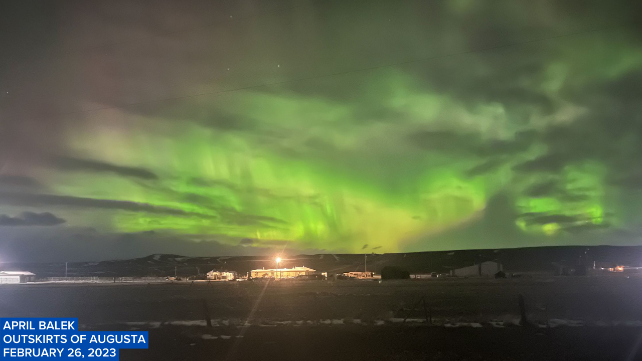
Click here to see viewer photos of the aurora from last night.
To go along with the increasing clouds tonight, we are also going to have a chance to see some snow showers after midnight around the Helena area as a disturbance begins to approach our area. In north-central Montana, most locations are going to be dry tonight. It is also going to be chilly tonight as lows are going to be in the teens and low 20s in most locations.
There are then going to be scattered snow showers around tomorrow and tomorrow night, especially in locations east of I-15, as this disturbance passes through our area. A band of light to moderate snow may also develop later on tomorrow along the central and eastern half of the Hi-Line (most likely from Hill County to Valley County). Where this band of snow develops, up to 4 inches of snow accumulation is possible. Elsewhere, less than two inches of snow accumulation is expected, with the exception of the mountains, where a few inches of snow accumulation is expected. This snow may also create slippery road conditions in some areas, so please be careful when driving.

It is also going to be breezy tomorrow in central Montana, in northeastern Montana, and along the Rocky Mountain Front as sustained wind speeds are going to be between 10 and 25 mph. Elsewhere, there is just going to be a little breeze around tomorrow as sustained wind speeds are going to be between 5 and 15 mph. We are also going to have below average temperatures tomorrow as highs are going to be in the mid to upper 20s and low to mid 30s, and the coldest temperatures are going to be along the Hi-Line.
On Wednesday, we are going to have decreasing clouds with a slight chance of snow showers as this disturbance leaves our area. It is also going to be chilly again on Wednesday as highs are going to be in the mid to upper 20s and low to mid 30s.
We are then going to have a gusty to strong southwesterly breeze around on Thursday as sustained wind speeds are going to be between 15 and 35 mph, and wind gusts over 50 mph are going to be possible at times. Gusty winds are then expected on Friday as sustained wind speeds are going to be between 10 and 30 mph, and wind gusts over 40 mph are going to be possible at times. It is also going to continue to be chilly on these two days as highs are going to be in the 30s and low 40s in most locations, with Thursday being the warmer day.
There are also going to be some isolated snow and rain showers around on Thursday, generally during the afternoon/evening, and a few scattered snow showers around on Friday as a couple disturbances pass through our area. We are also going to have mostly cloudy skies on Thursday and partly cloudy skies on Friday.
On Saturday, we are going to have mostly cloudy skies with a few isolated snow showers around during the evening as a storm system begins to approach our area. There are then going to be scattered areas of snow around on Sunday and Monday as a storm system passes through our area. The temperatures are also going to cool down some over these three days as highs are going to be in the 30s on Saturday; the upper 20s and low 30s on Sunday; and the 20s on Monday. It is also going to be breezy on Sunday as sustained wind speeds are going to be between 10 and 20 mph.


