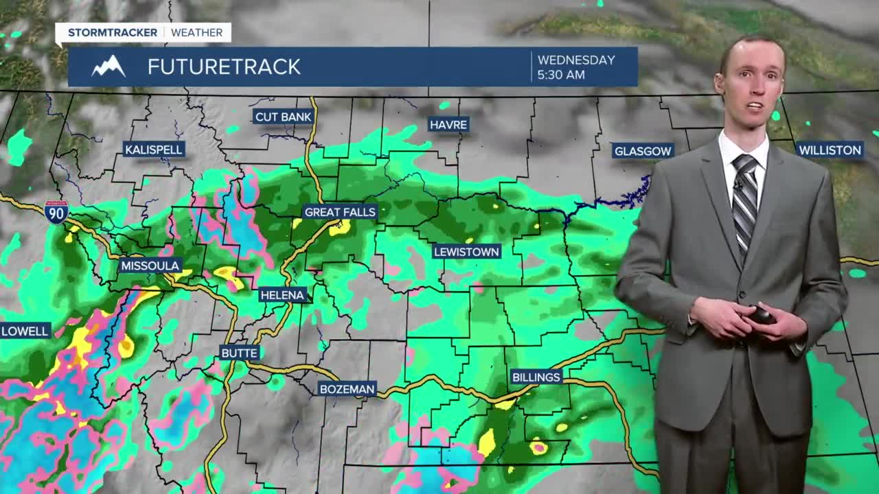


There are going to be a few scattered rain showers and isolated thunderstorms around today as one storm system departs our area and as another storm system begins to approach our area. There are then going to be scattered rain showers and isolated thunderstorms around tonight, especially after midnight, as this second storm system begins to work its way through our area. Rain showers are then likely tomorrow as this storm system continues to work its way through our area. A couple isolated thunderstorms are also possible during the day tomorrow. In terms of total precipitation, most locations are going to receive between a quarter and a half an inch between this morning and tomorrow evening, but some isolated locations may pick up a little bit more or less than this range. We are also going to have partly cloudy skies today, and mostly cloudy skies tonight and tomorrow.

The high temperatures today are going to be in the mid to upper 50s in most locations, and the lows tonight are going to be in the low to mid 40s in most locations. The temperatures tomorrow are then going to be a bit cooler than the temperatures today are going to be as highs are going to be in the low to mid 50s. It is also going to be windy today in eastern Montana as sustained wind speeds are going to be between 15 and 30 mph.
Mostly sunny skies and mainly dry conditions are then expected on Thursday as high pressure is going to be in control of our weather. There may also be some patchy areas of fog around Thursday morning, so be aware of that. The temperatures on Thursday are also going to be a lot warmer than they are going to be today and tomorrow as highs are going to be in the low to mid 70s. There is also going to be a little bit of a breeze around on Thursday as sustained wind speeds are going to be between 10 and 15 mph.
We are then going to have a chance of rain showers and thunderstorms on Friday as another storm system passes through our area. The temperatures are also going to be cooler on Friday than they are going to be on Thursday as highs are only going to be in the low 60s. It is also going to be windy on Friday as sustained wind speeds are going to be between 15 and 35 mph, and wind gusts up to 50 mph are going to be possible at times.
High pressure is then going to provide us with some awesome weather this weekend as we are going to have mostly sunny skies and mostly dry conditions. This nice weather is going to stick around for Memorial Day (Monday) as well. The temperatures are also going to warm up a lot over these three days as highs on Saturday are going to be in the mid 60s; highs on Sunday are going to be in the upper 60s and low 70s; and highs on Monday are going to be in the mid 70s.


